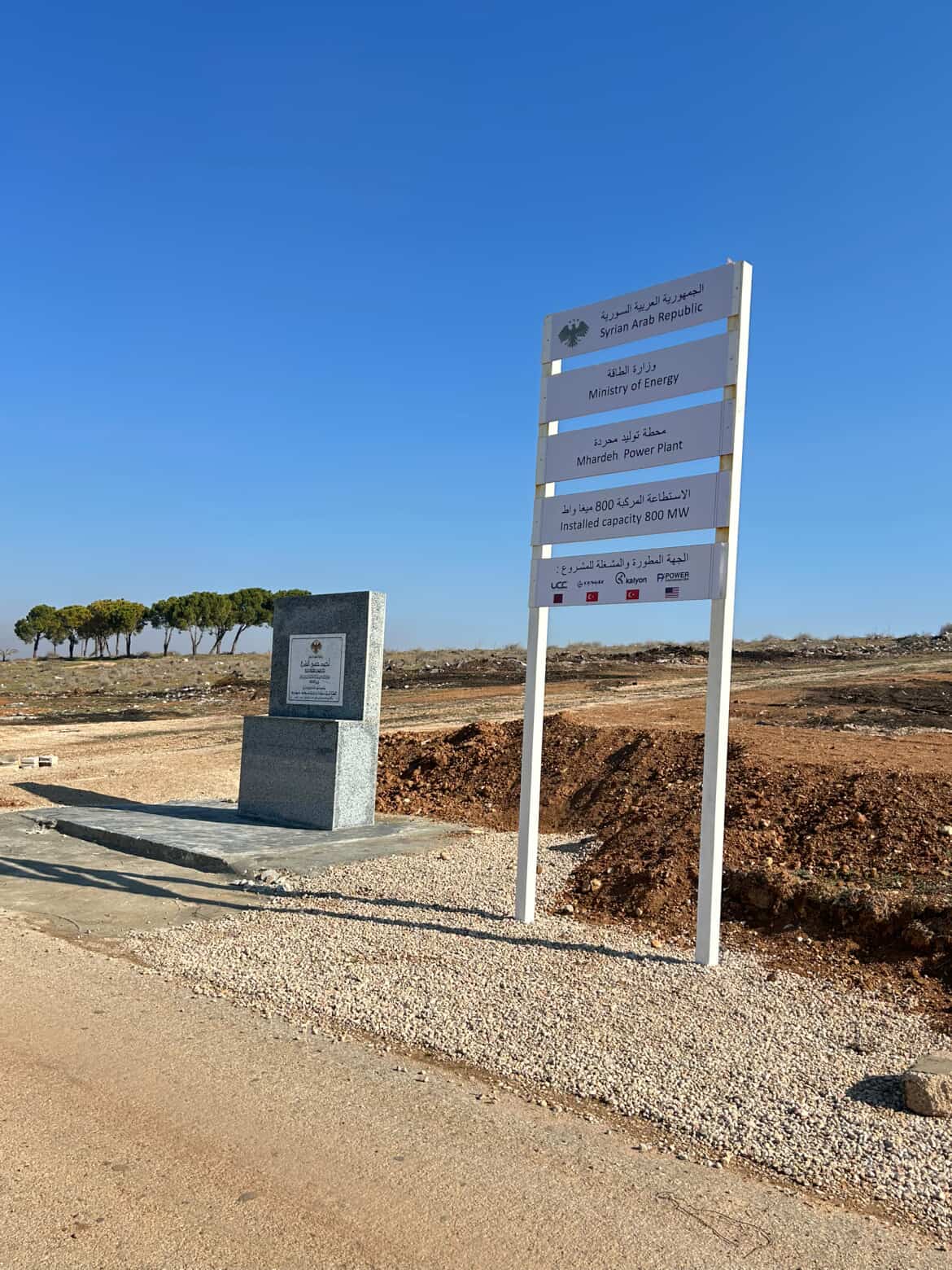
Project: Mhardeh Power Plant
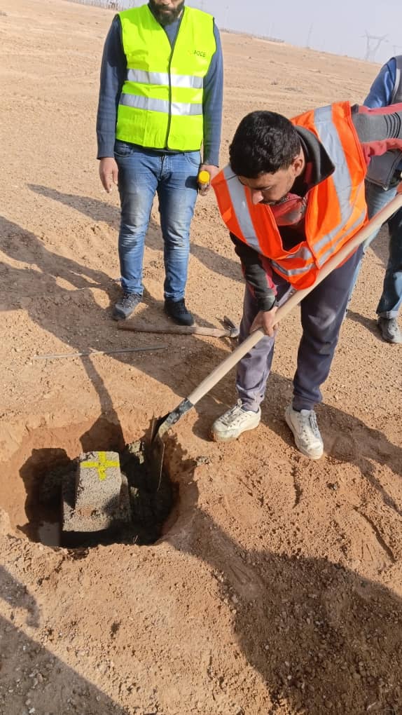
Major energy projects are not built in a vacuum; they are meticulously planned on the ground. Our engineering consultancy team conducted a comprehensive topographic survey of the Mhardeh Power Plant using state-of-the-art GPS (RTK) equipment.
What we did:
Recorded and determined the geographic coordinates (X, Y, Z) of the main control points.
Established specific control points covering the entire project site.
Conducted a detailed topographic survey to serve as the foundation for all subsequent structural and architectural designs.
Why is precision important?
To ensure full compliance with international engineering standards, accurately calculate excavation and backfilling quantities, and determine the foundation levels for the plant's bases and heavy equipment.
Project: Mhardeh Power Plant
See More