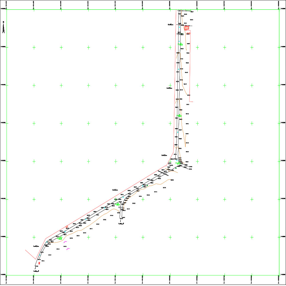
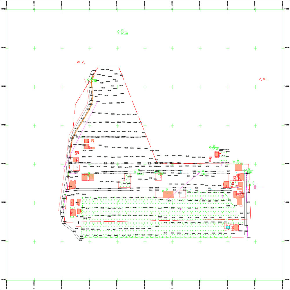
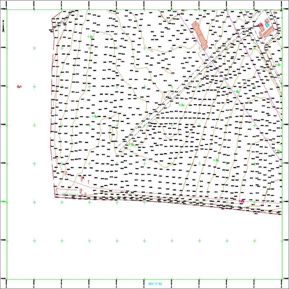
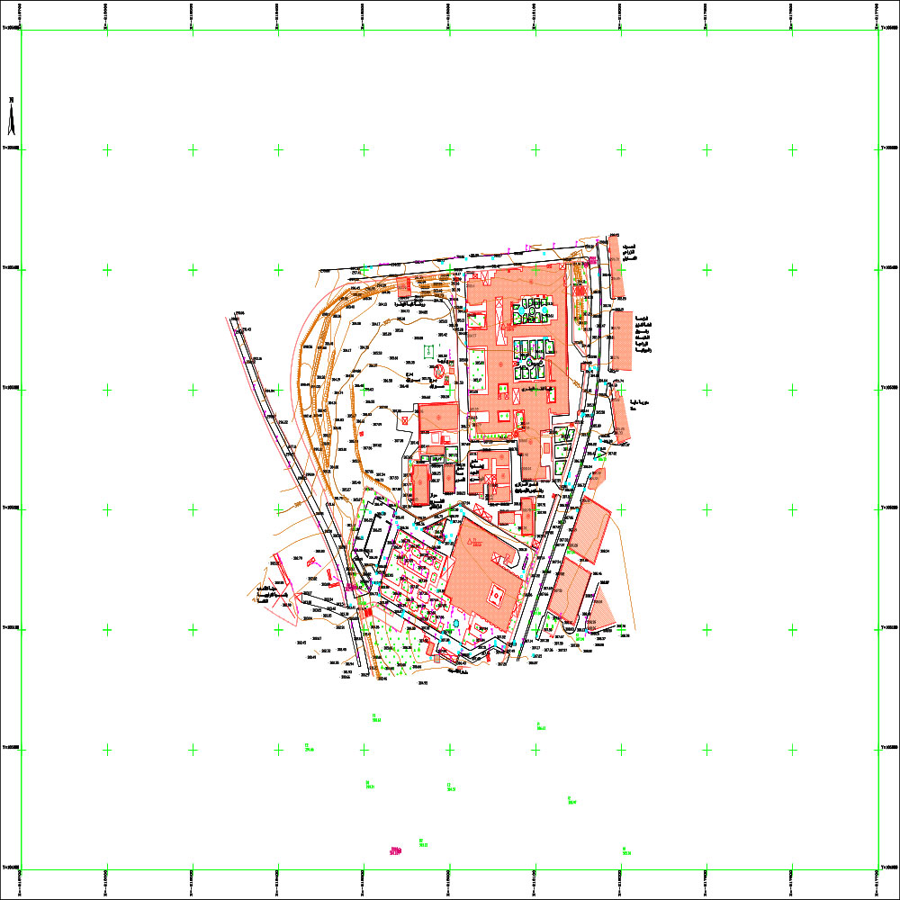
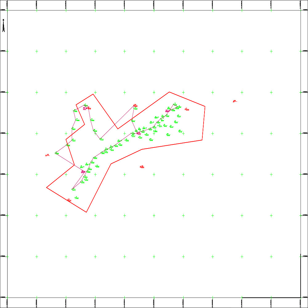
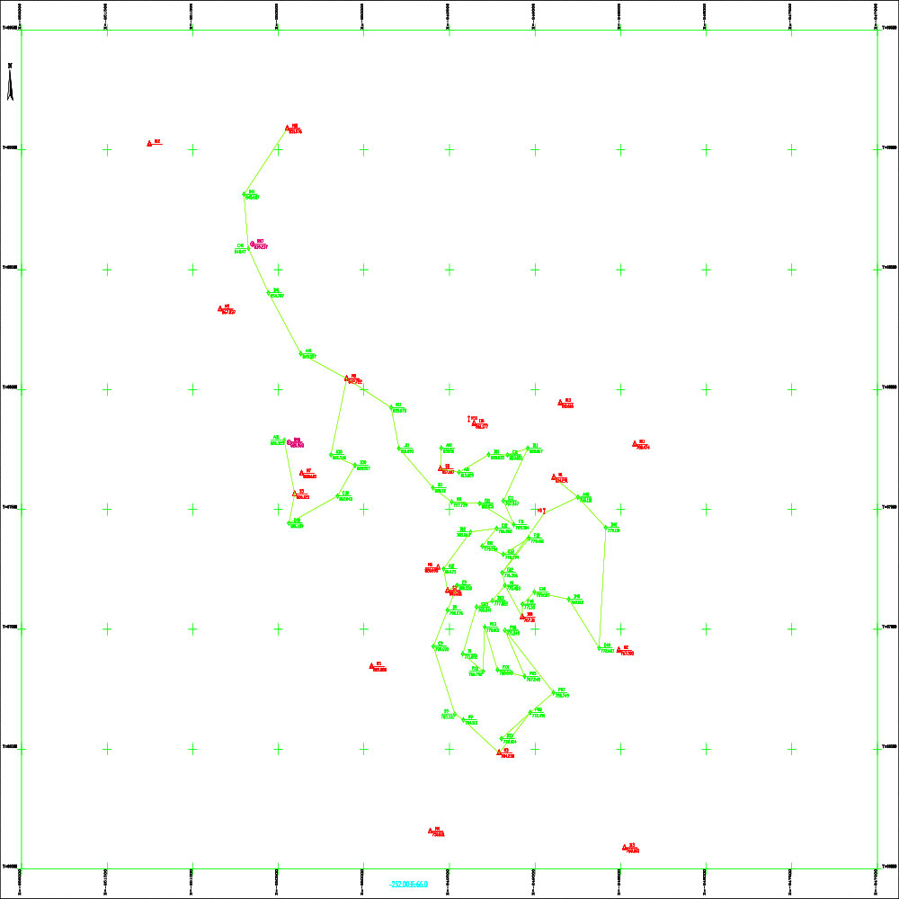
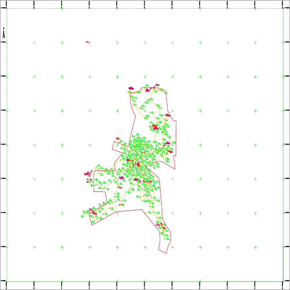
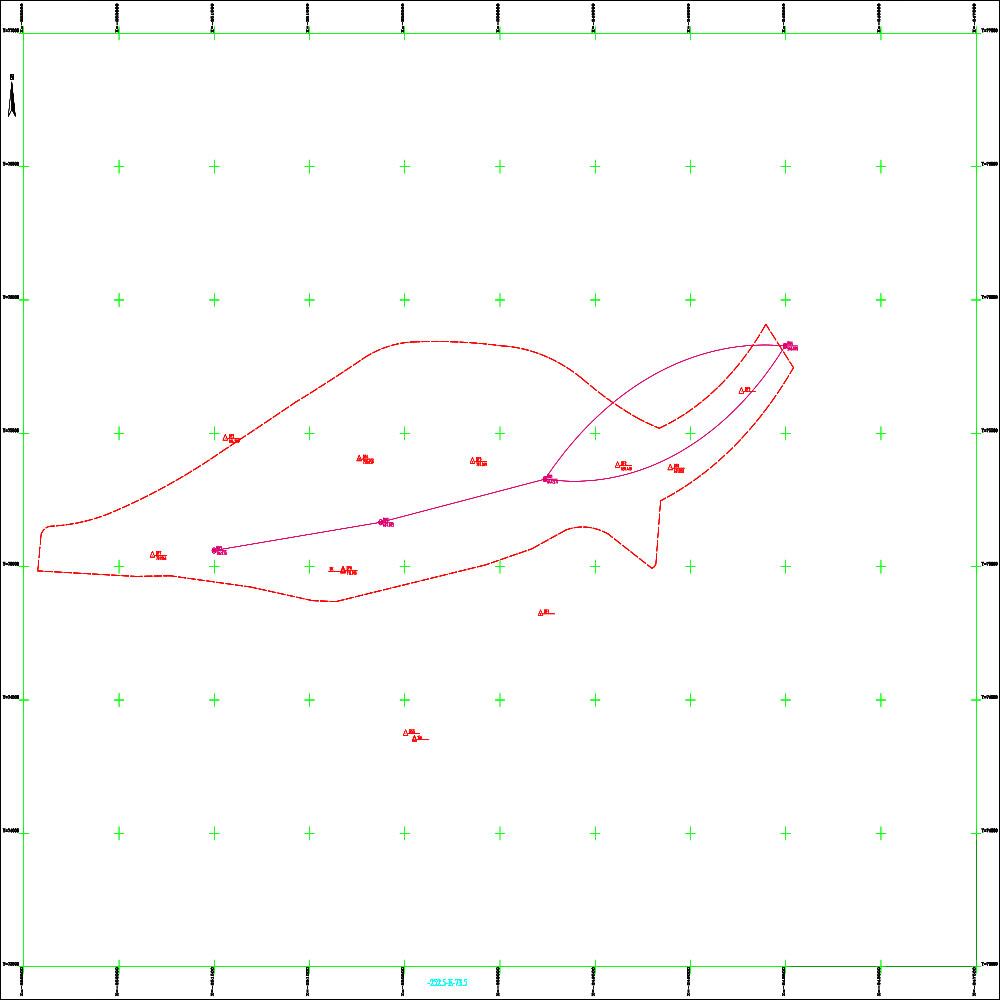
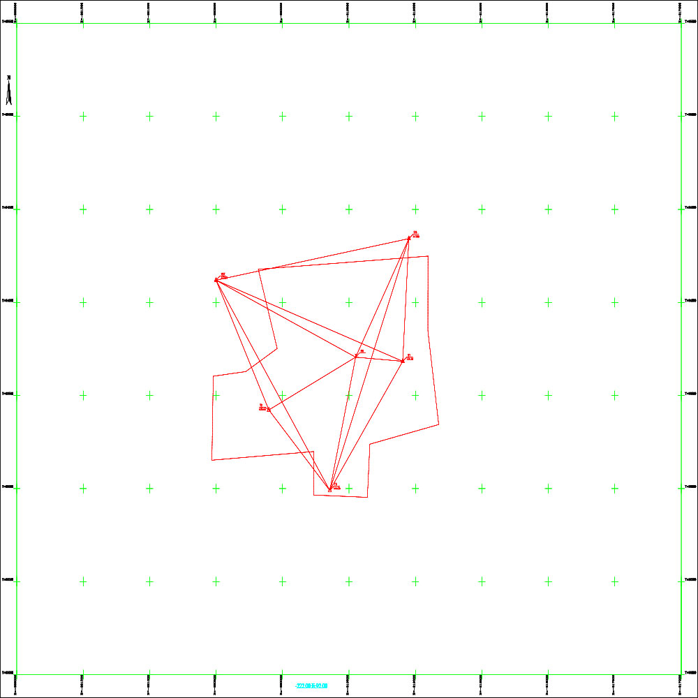
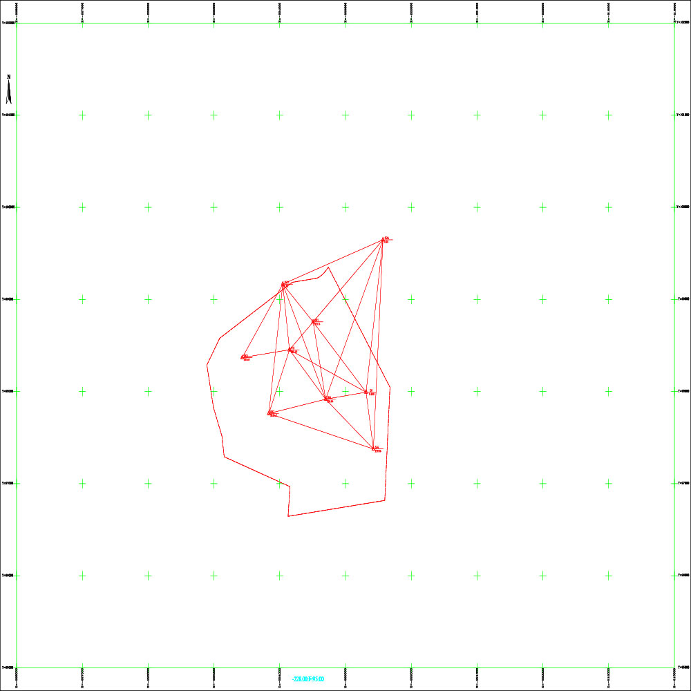
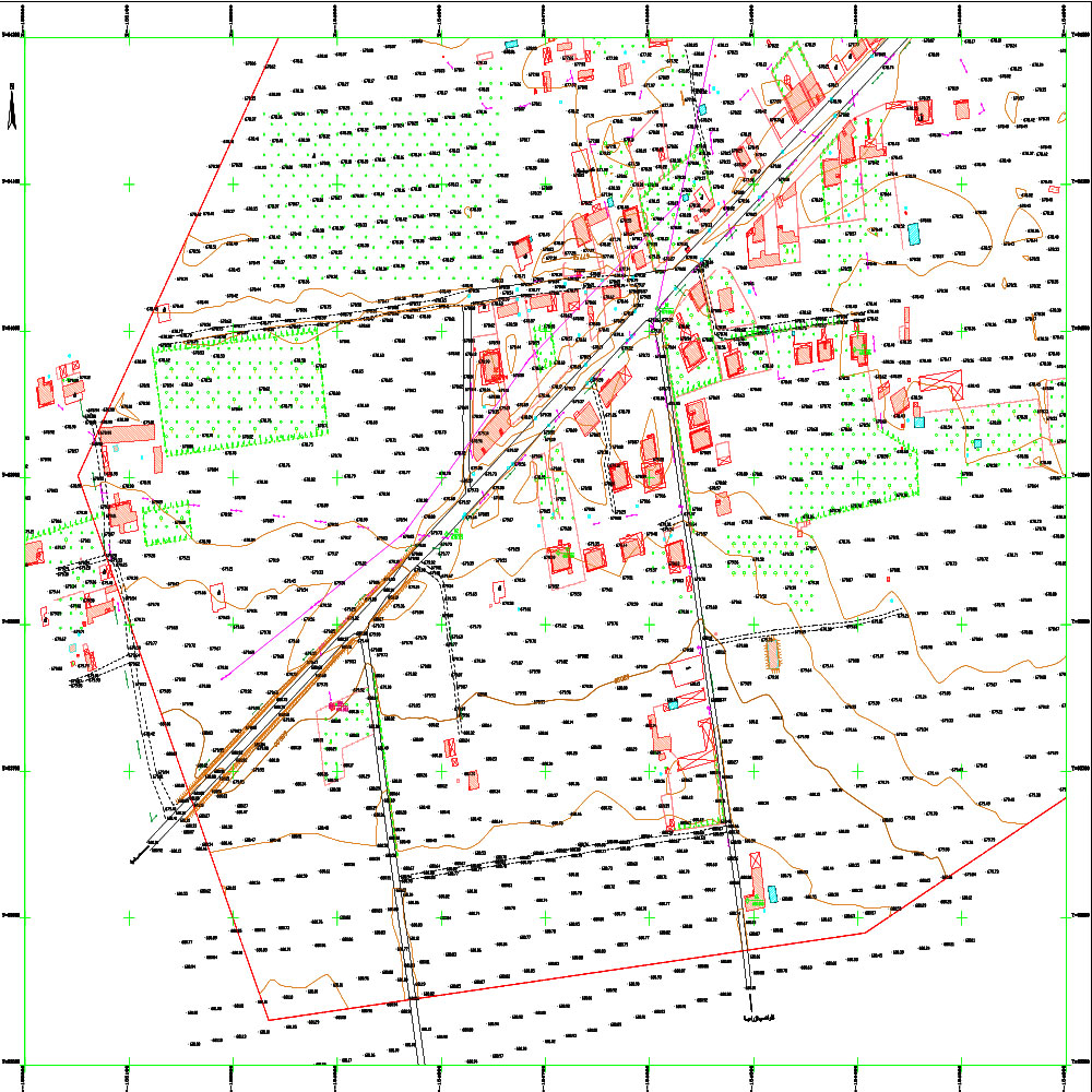
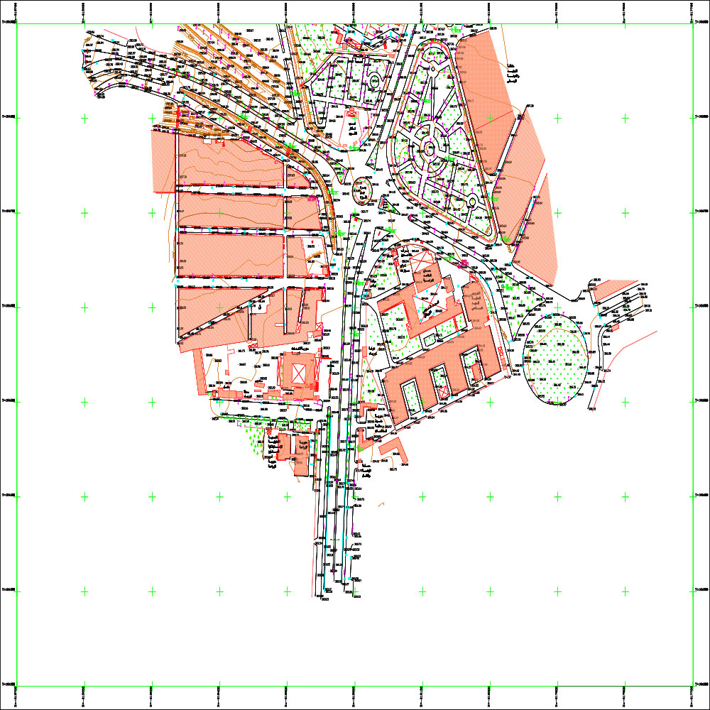
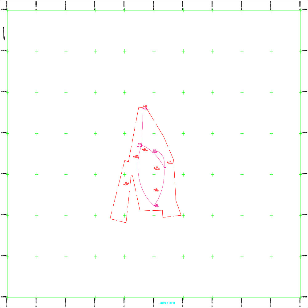
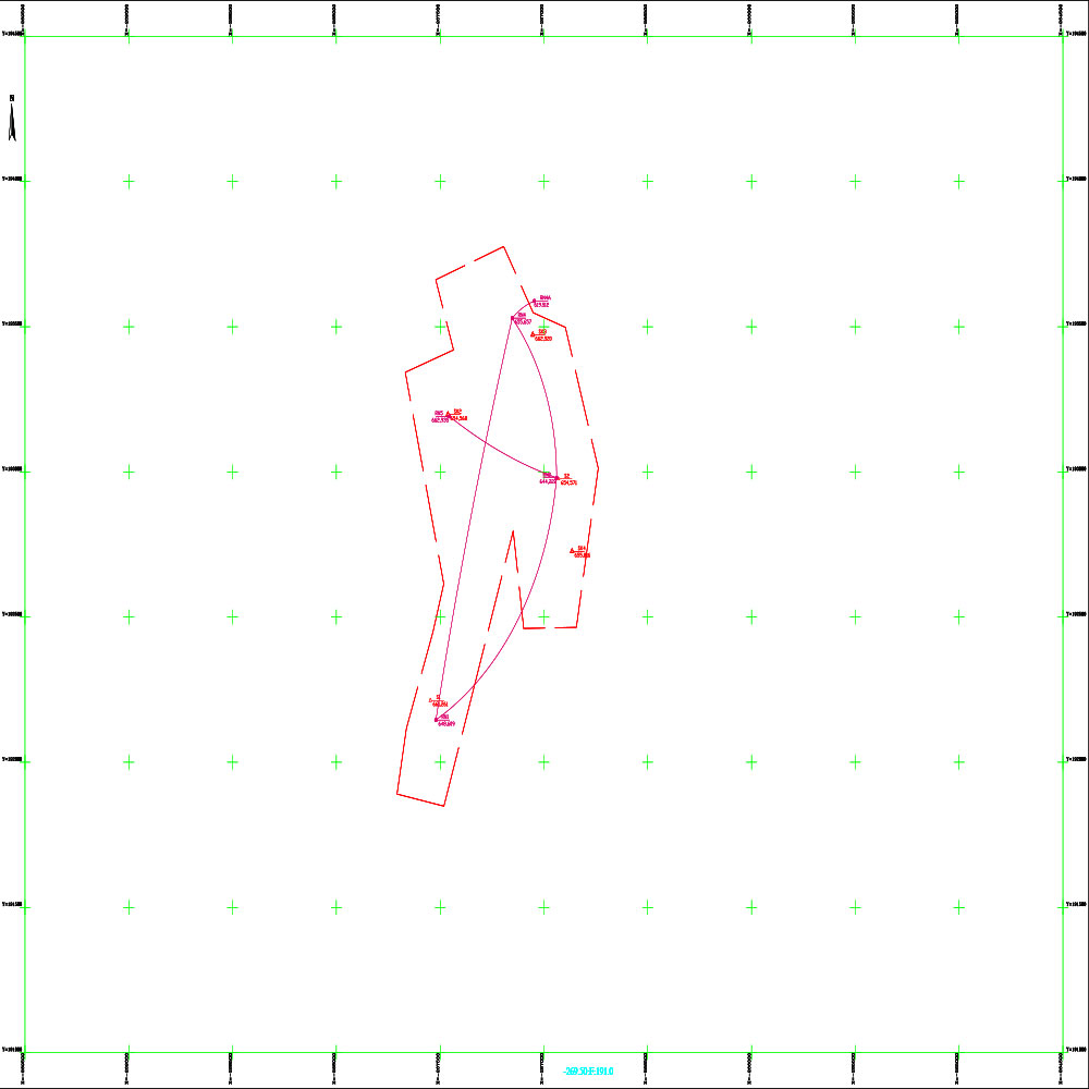
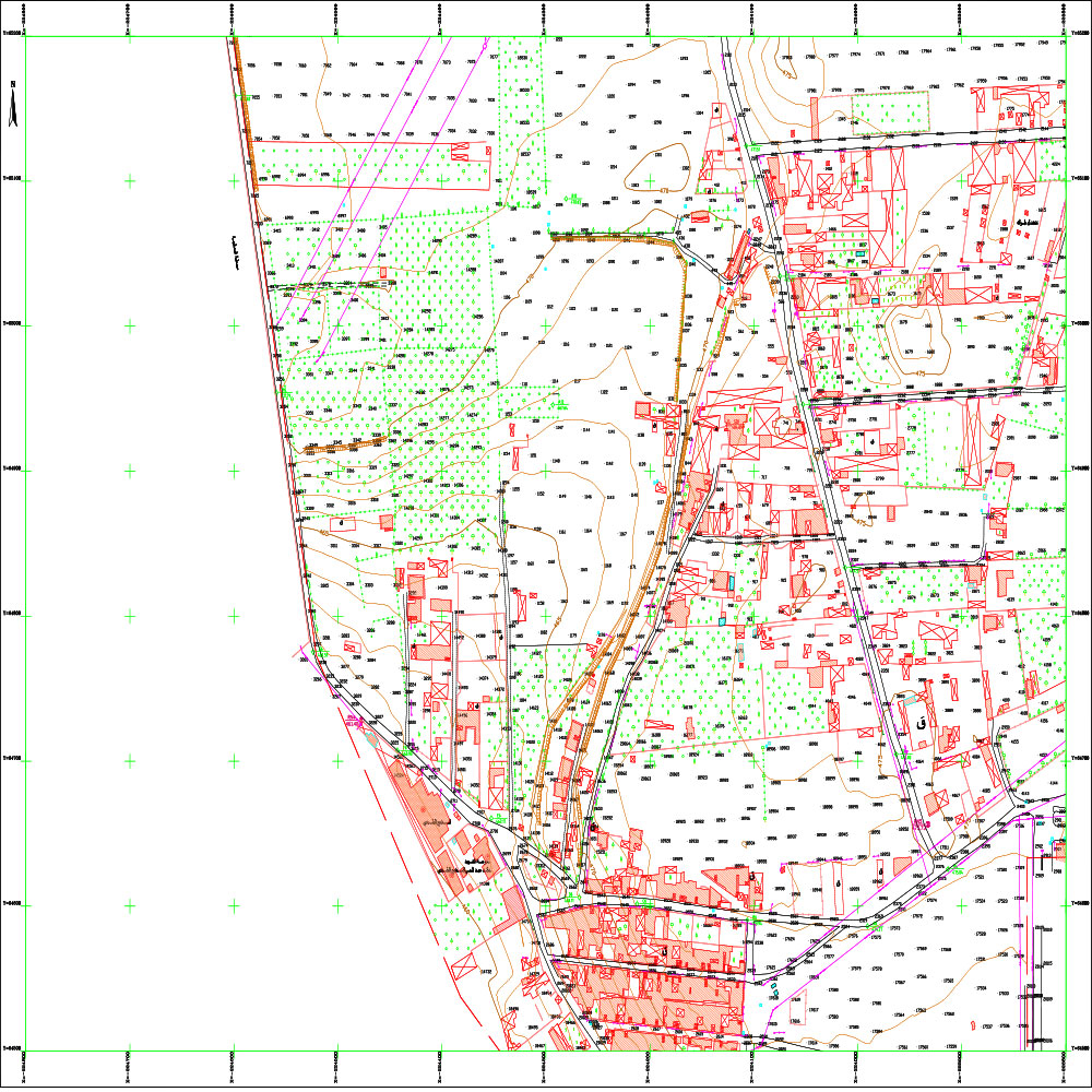
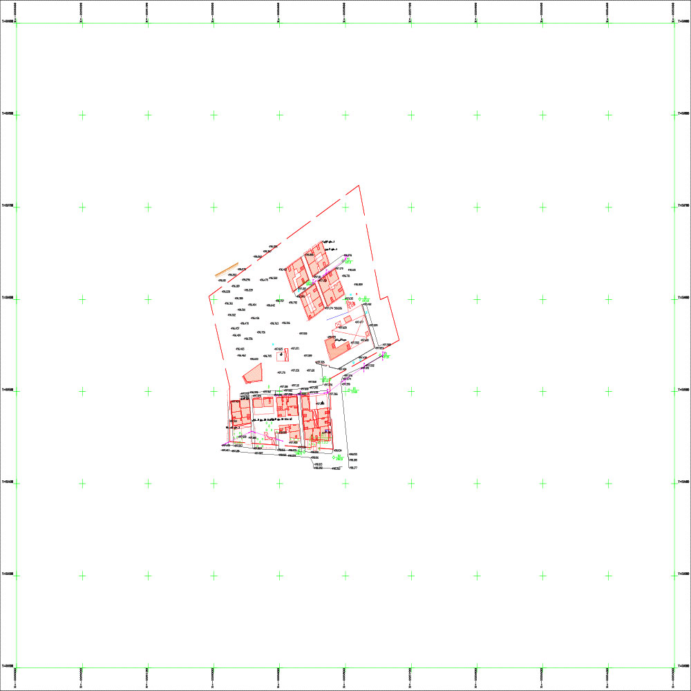
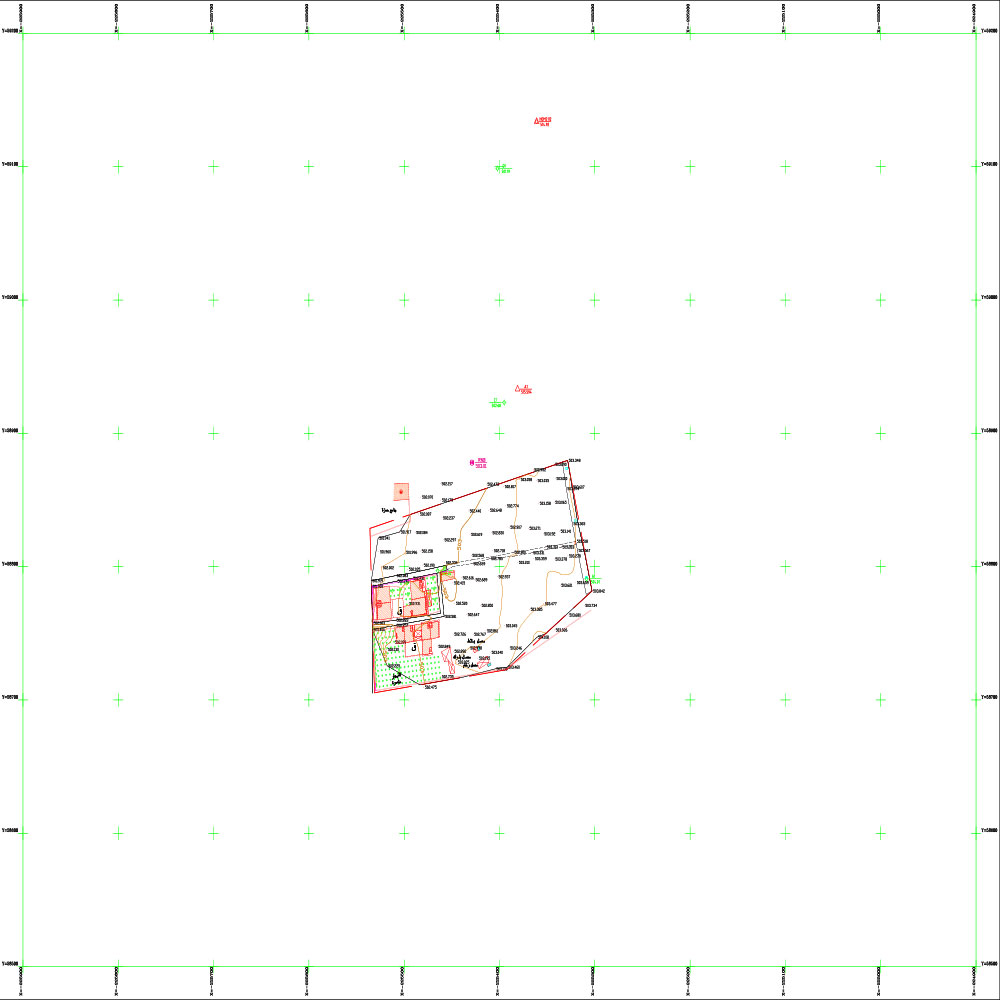
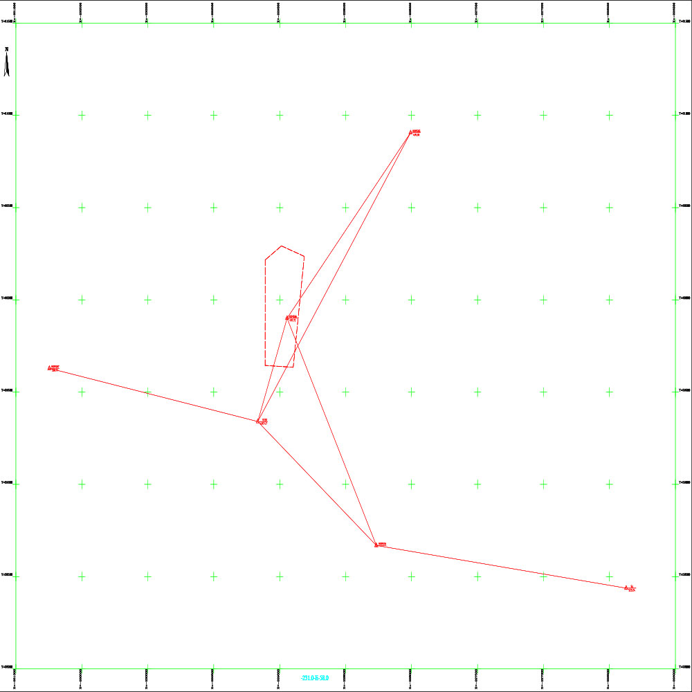
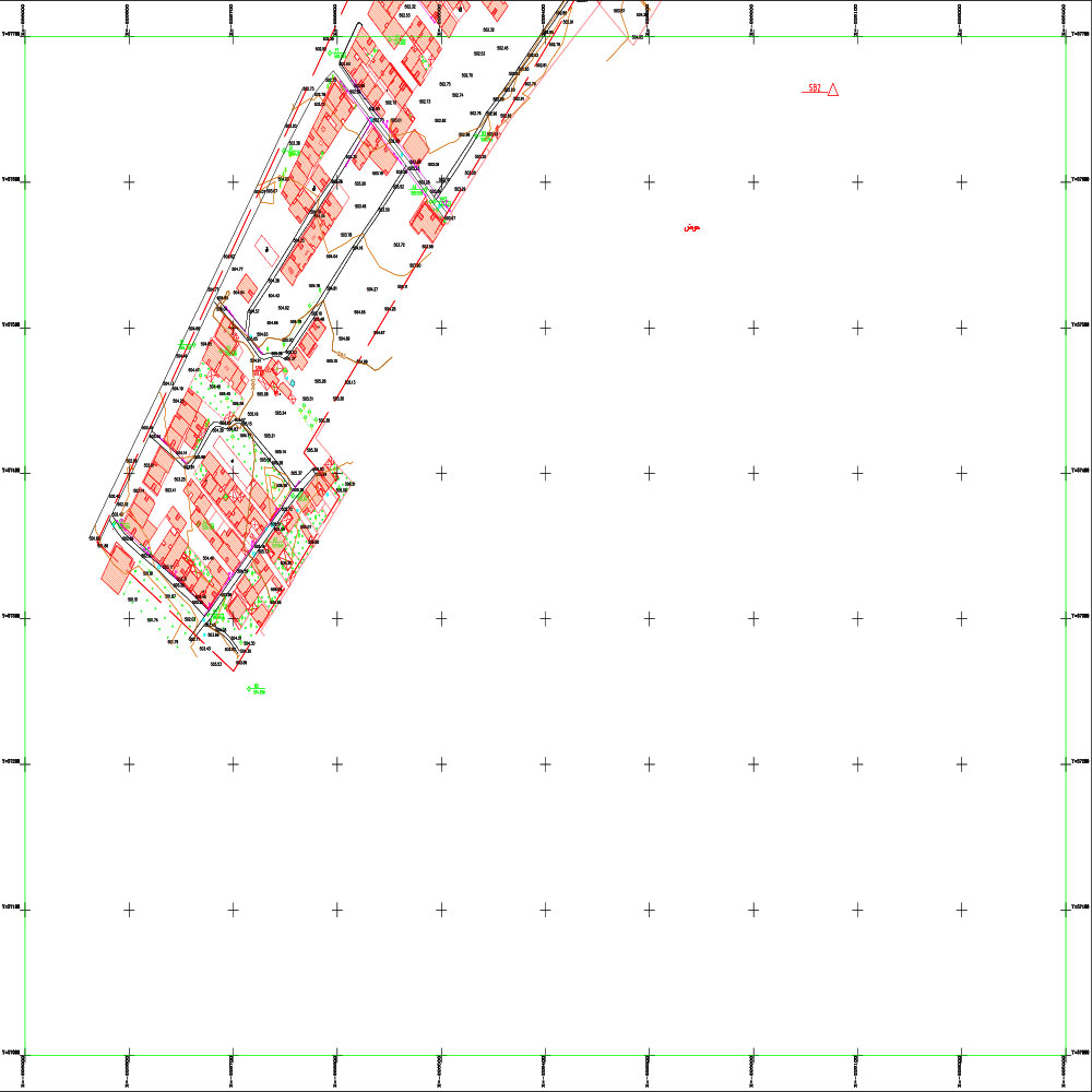
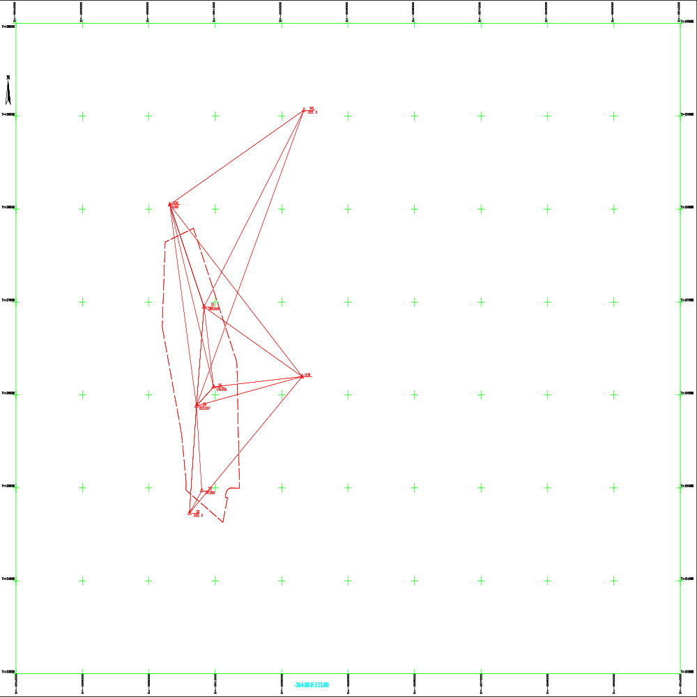
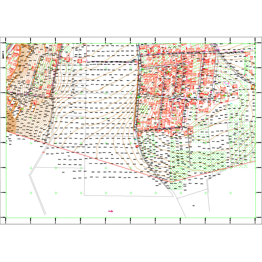
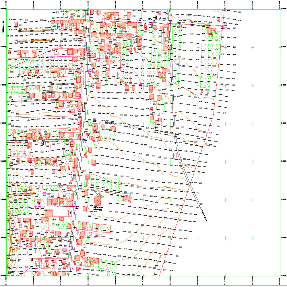
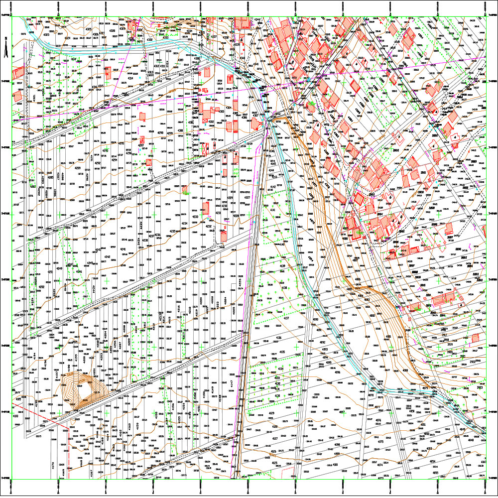
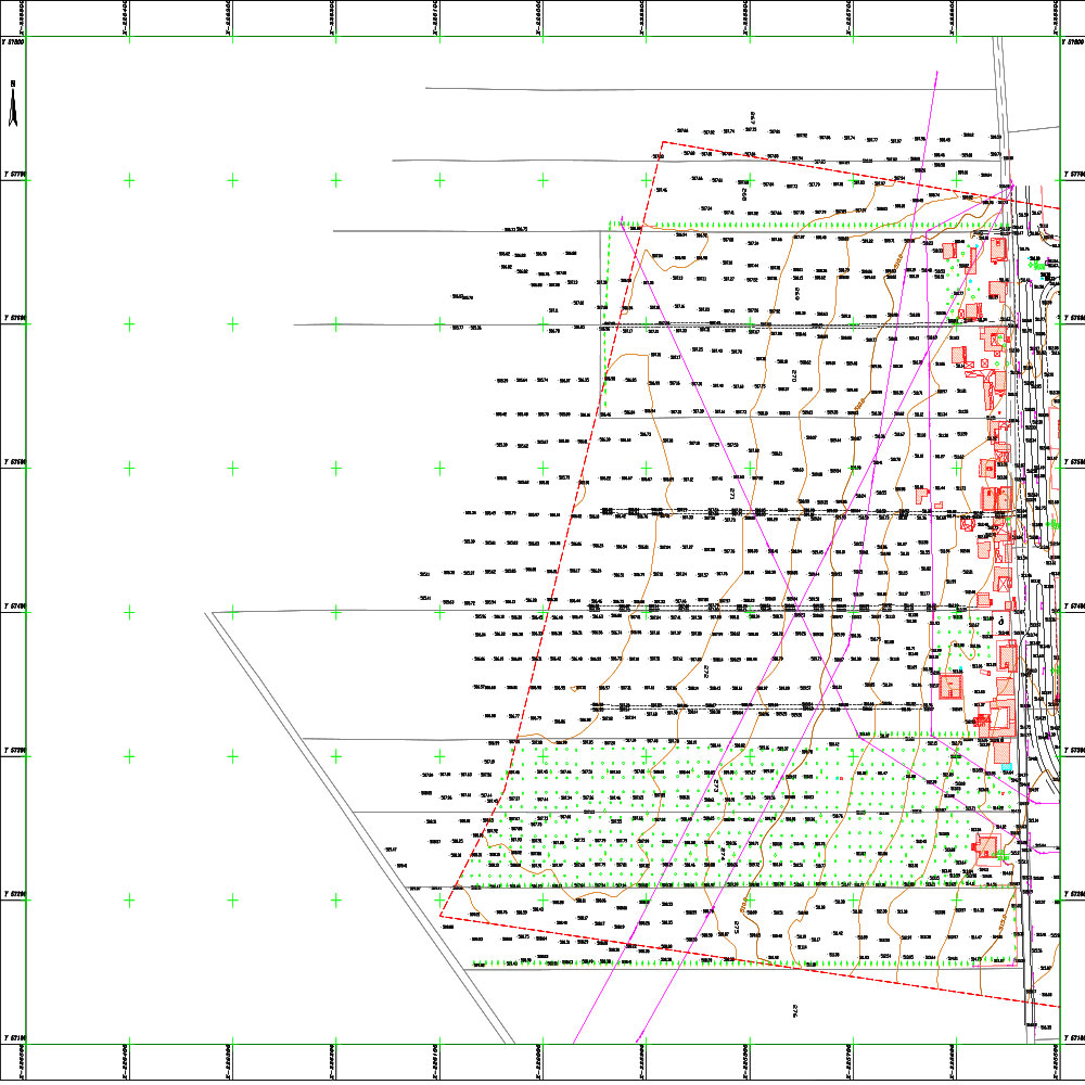
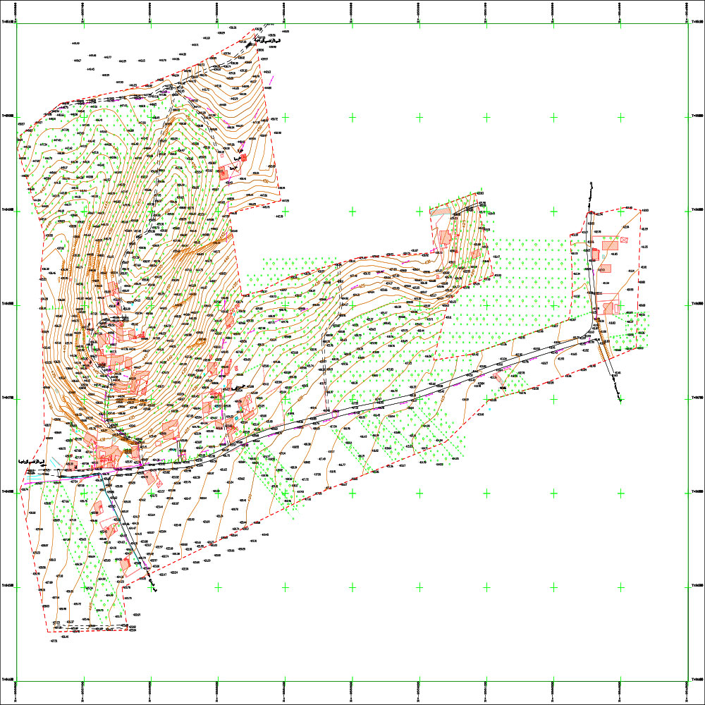
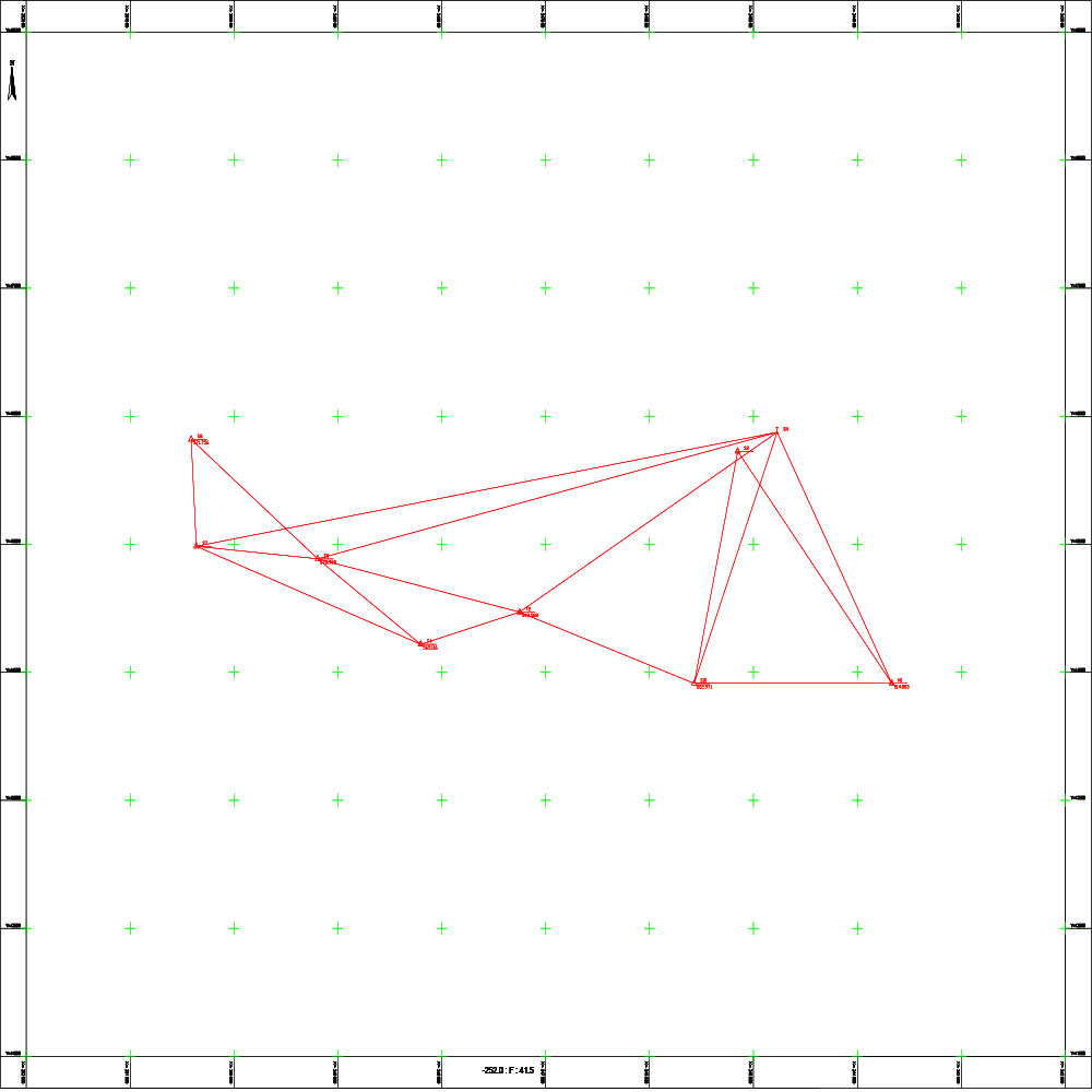
Project to create digital topographic maps for the following communities: (Barouha and Khirbet Jbab, Tanourin and Jwar al-Afs, Qanouta and Saoud, al-Mazraa, Batisa, al-Hashimiya, al-Tayba al-Gharbiya, al-Burhaniya, Fahl, Azir) in Homs Governorate
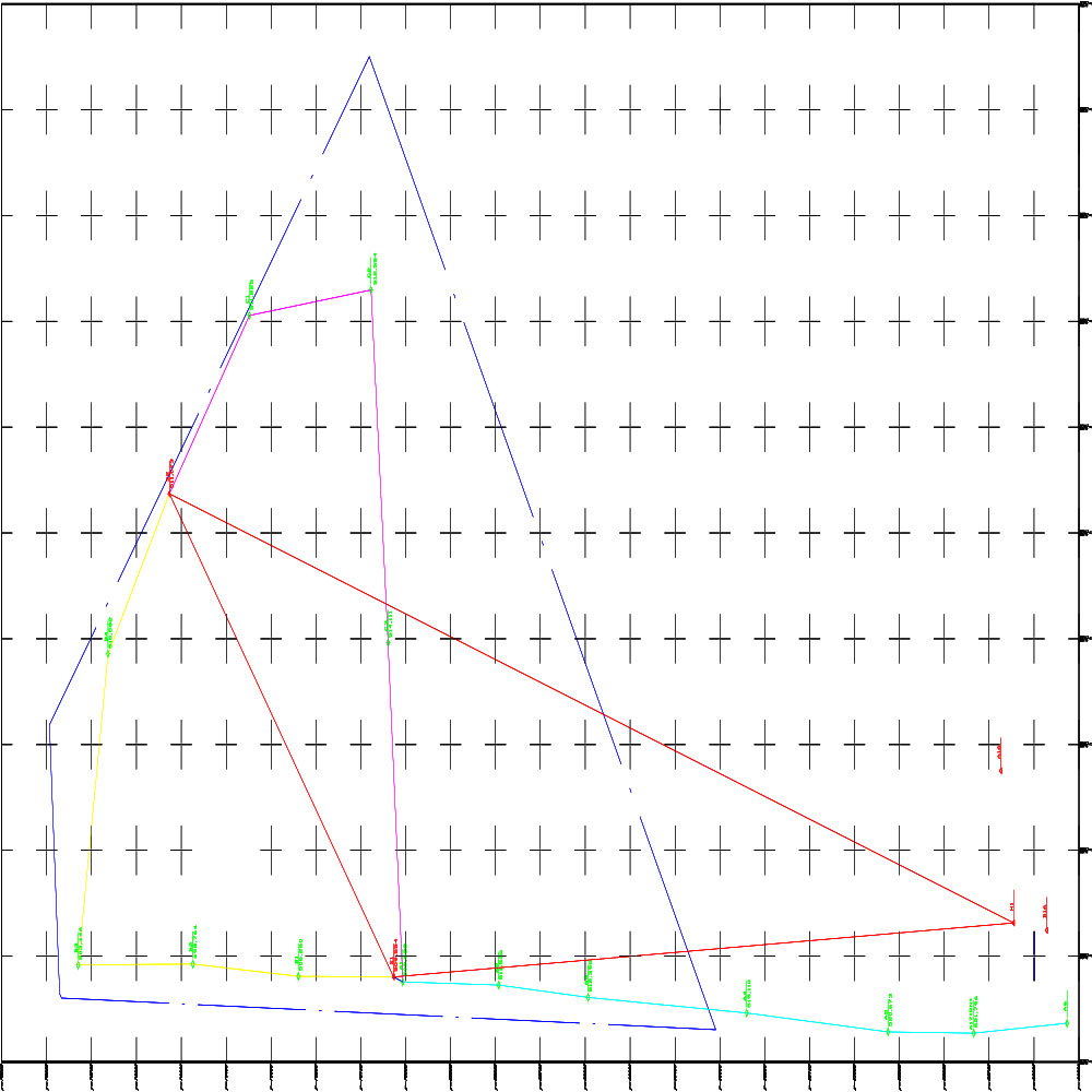
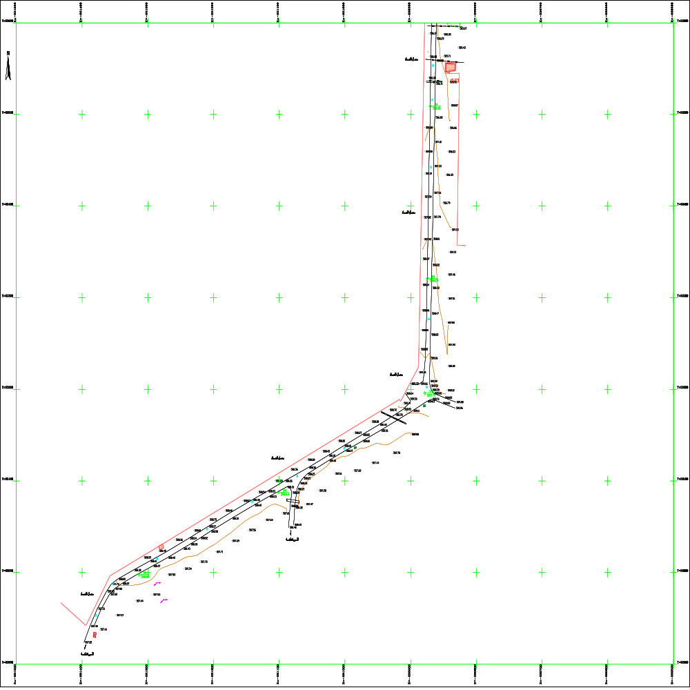
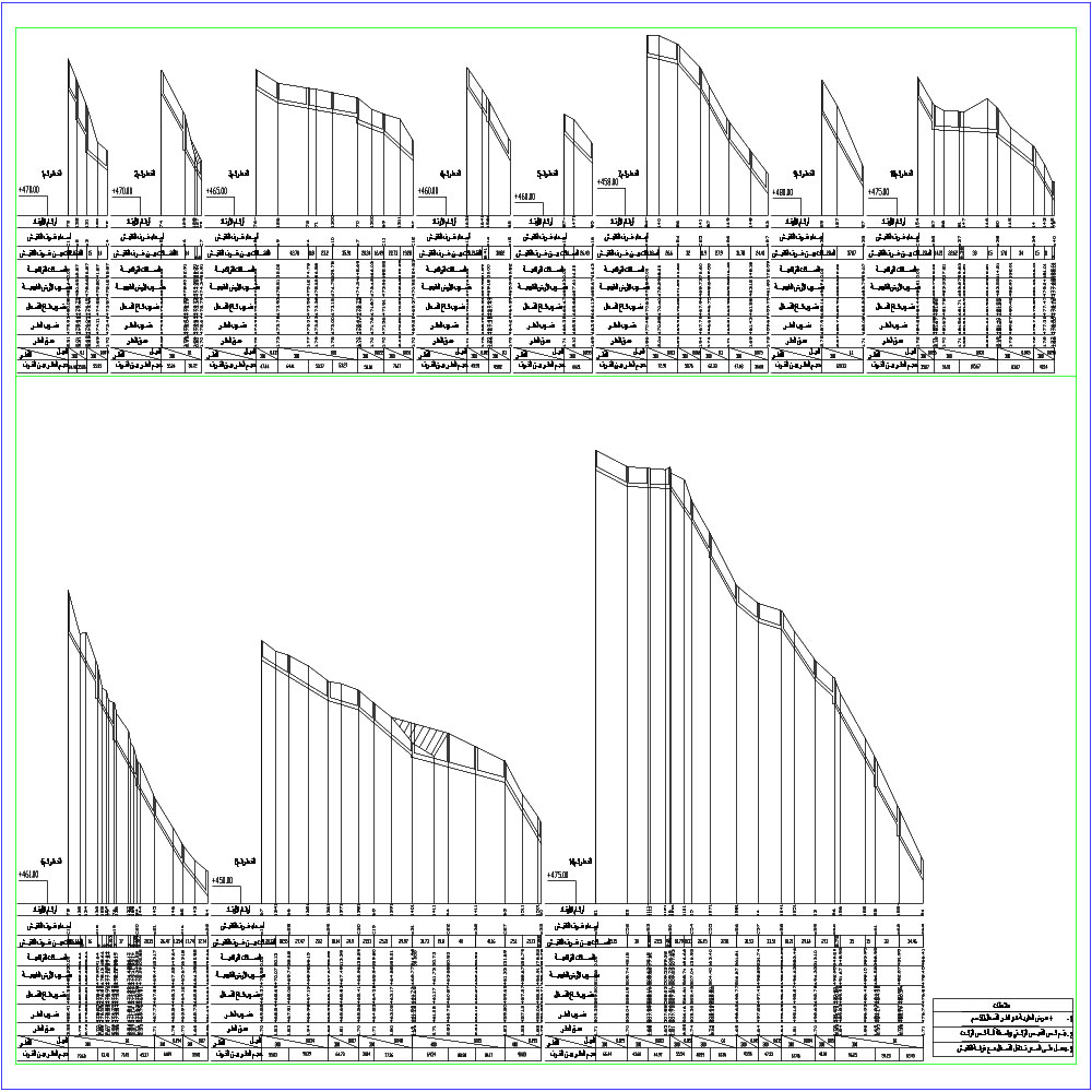
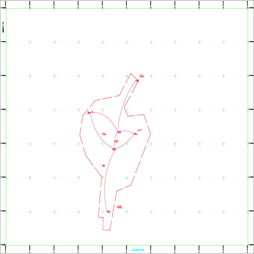
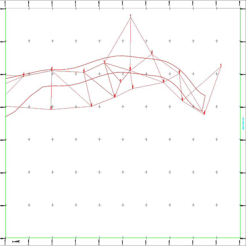
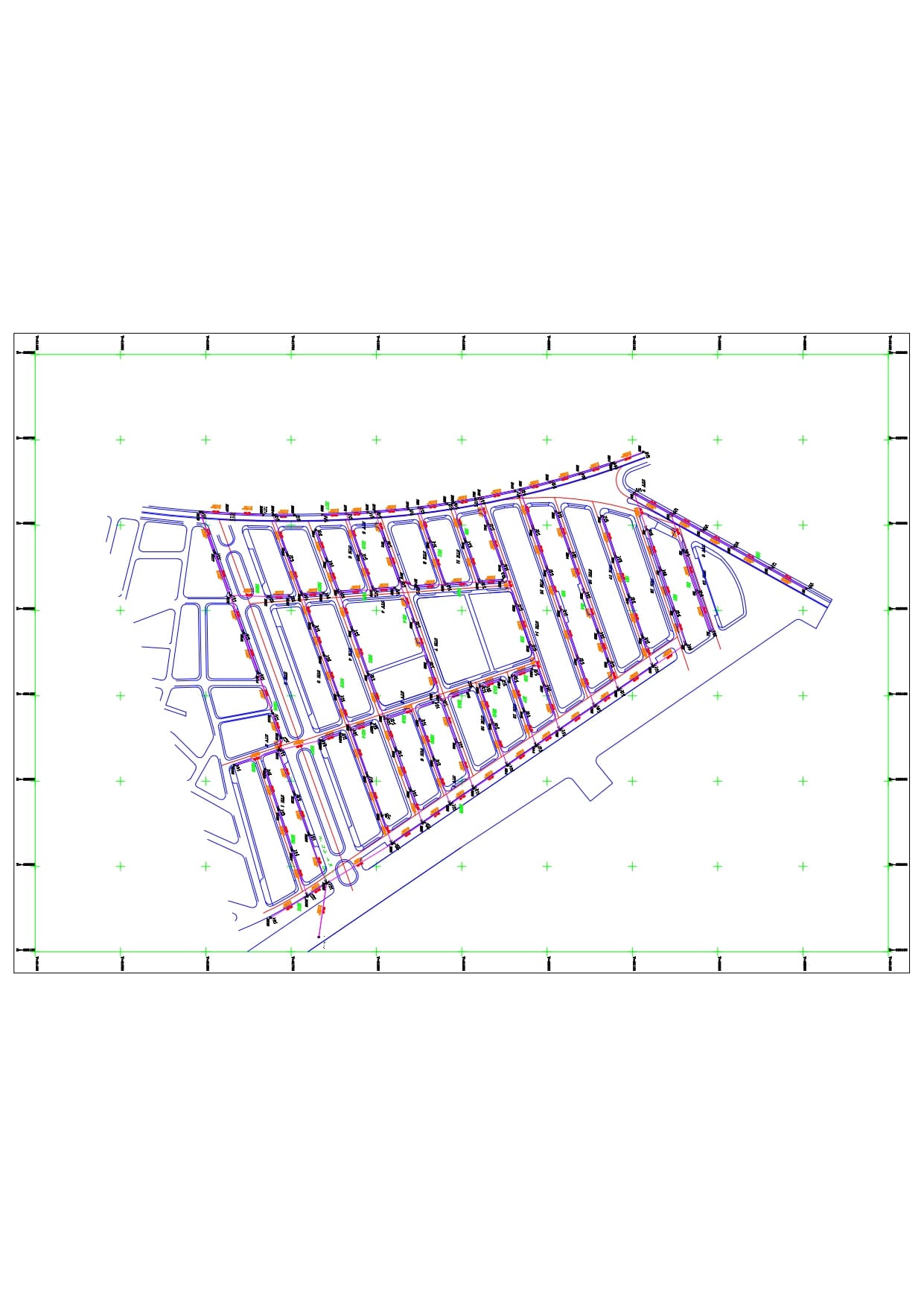
Studying the drainage route of Dabeen village and studying the sewage networks and their outlets in Shin, Al-Hawz and Moudan villages and Al-Na’im village.