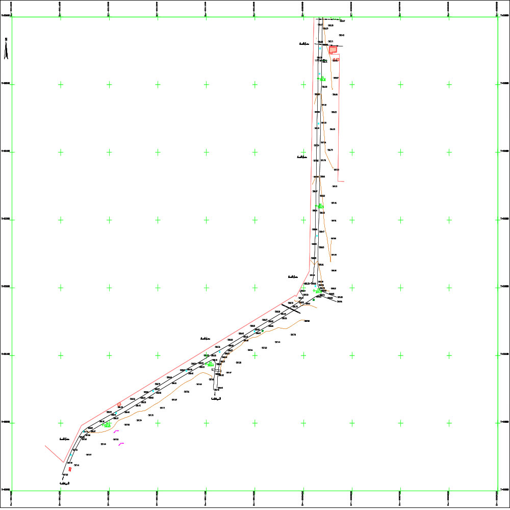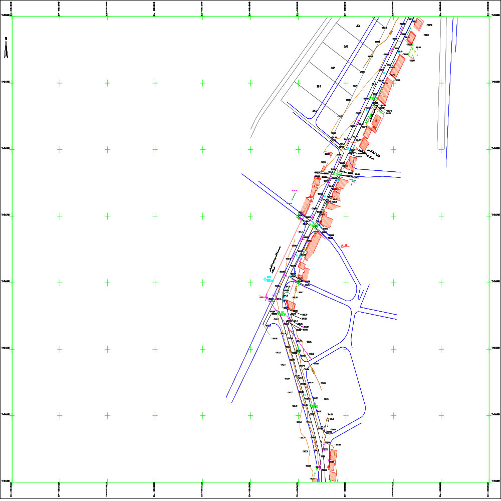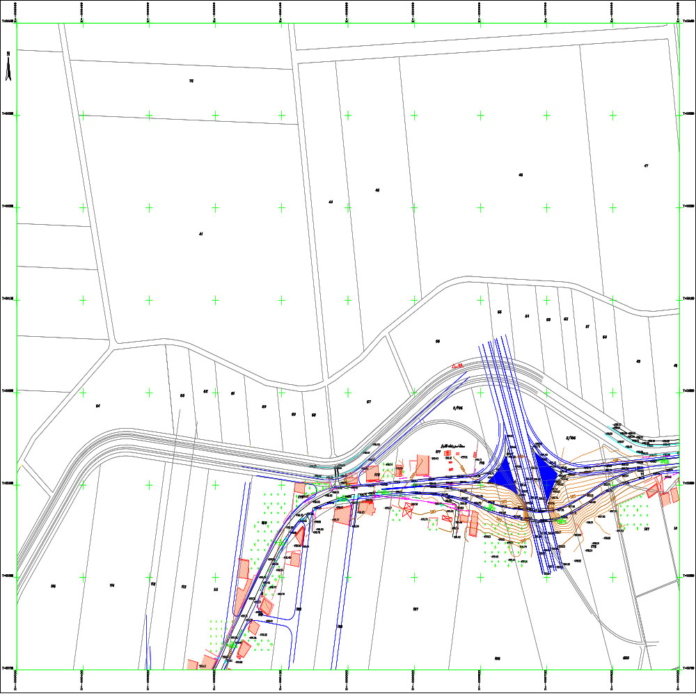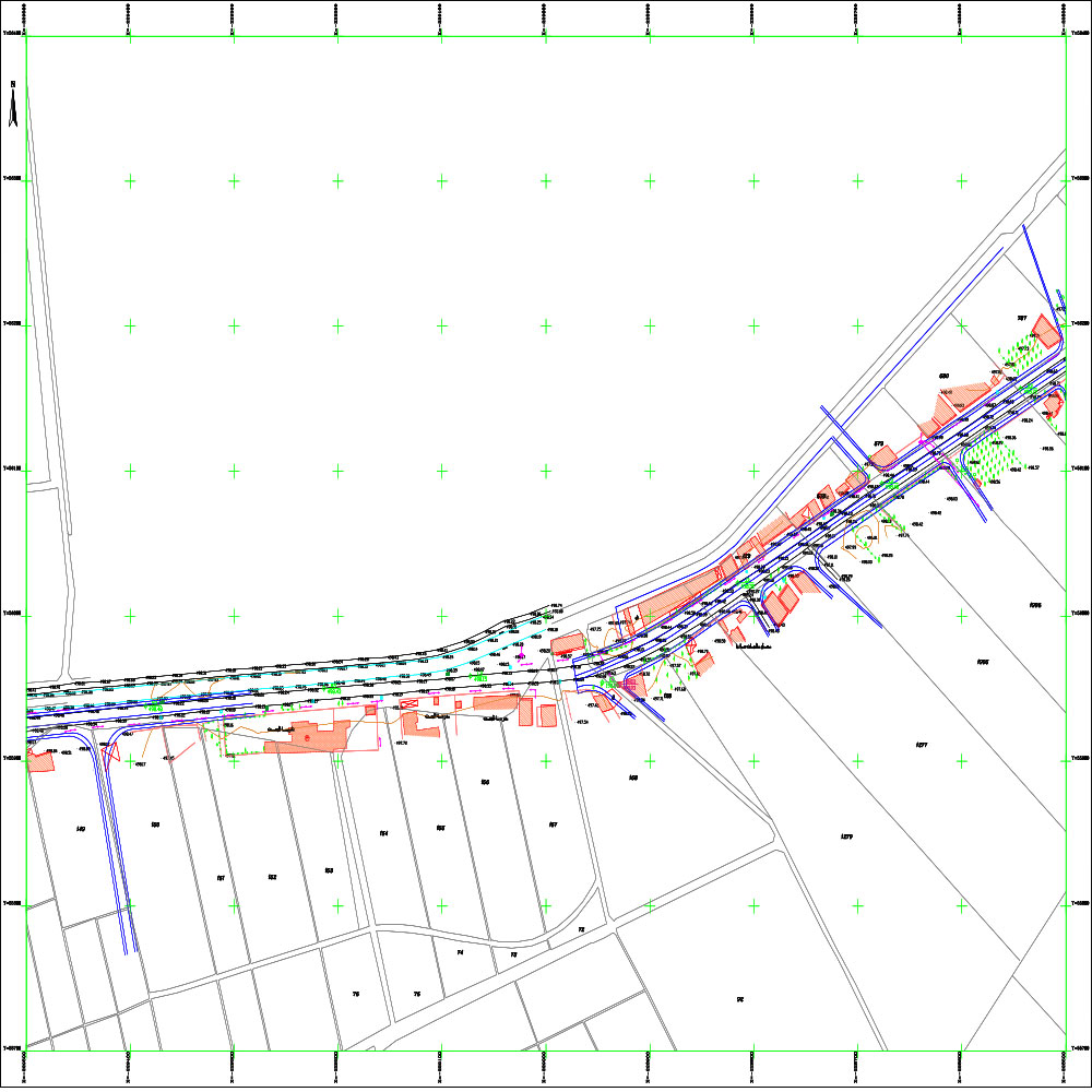
Topographic survey for the development project of the Jobar Qatina road in Homs Governorate

Project Description

Scope Of Services

General Site and Project Data:

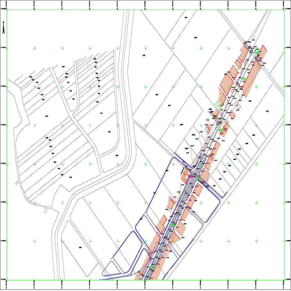
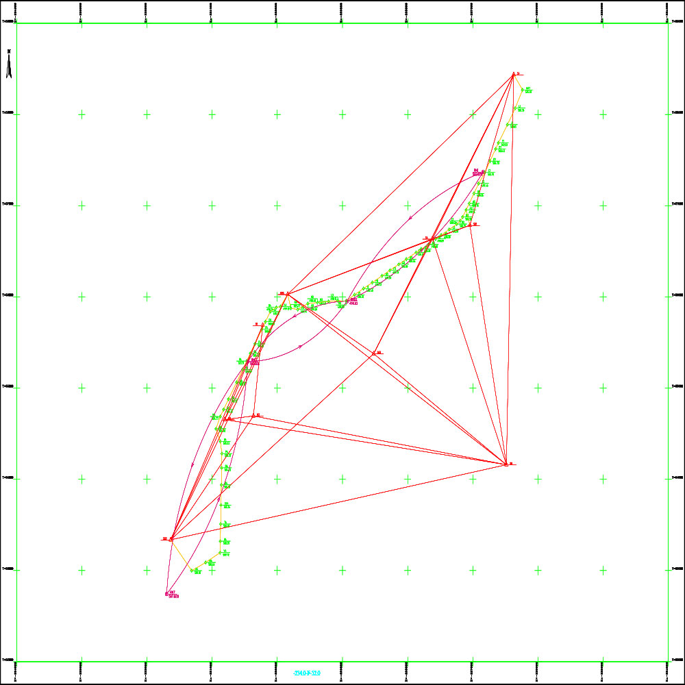
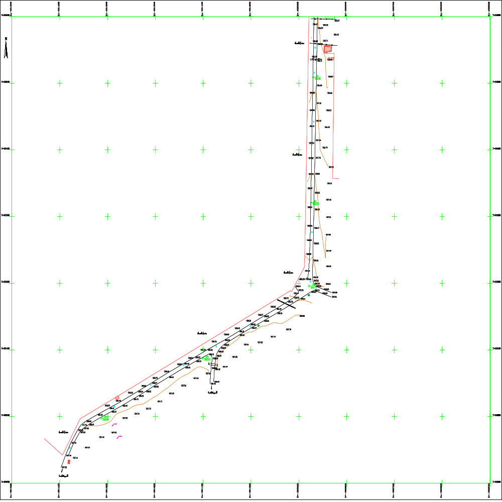
The project targets the Jobar-Qatina road axis in the Homs Governorate countryside. The topographic survey covers the entire 7.7 km length of the road, a vital artery connecting residential areas, industrial zones, and agricultural lands in the region.

Project Objective: The project aims to produce a precise topographic survey map of the road at a scale of 1:1000. The work was carried out in accordance with the technical standards and specifications outlined in the 2009 Technical Specifications document issued by the Ministry of Local Administration. This will provide a comprehensive engineering database to support road development and expansion projects, improve traffic safety, and document all landmarks and structures located along the route.

Contract date and num

.. .' | ' .0001-01-01

Client

...

Project Files