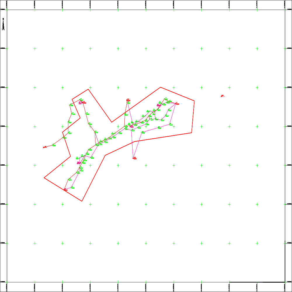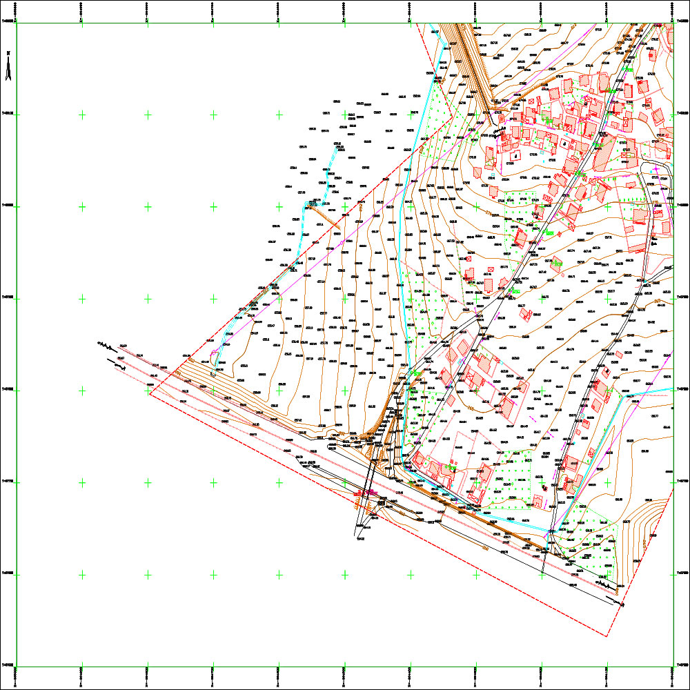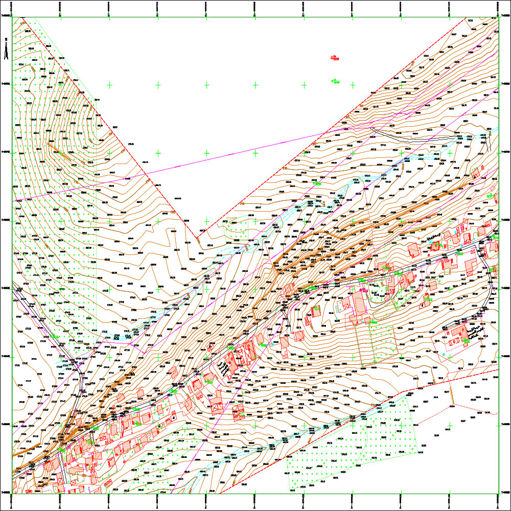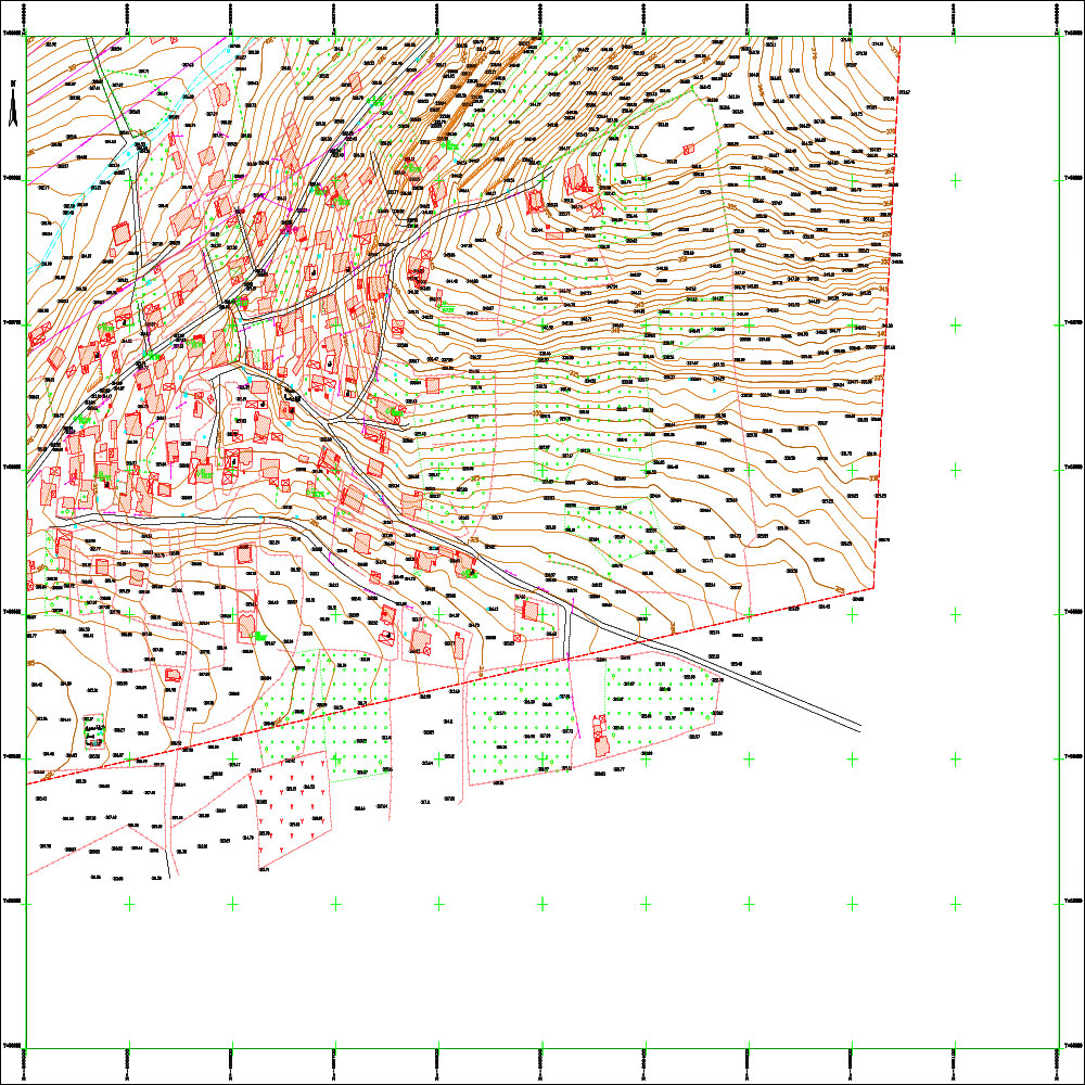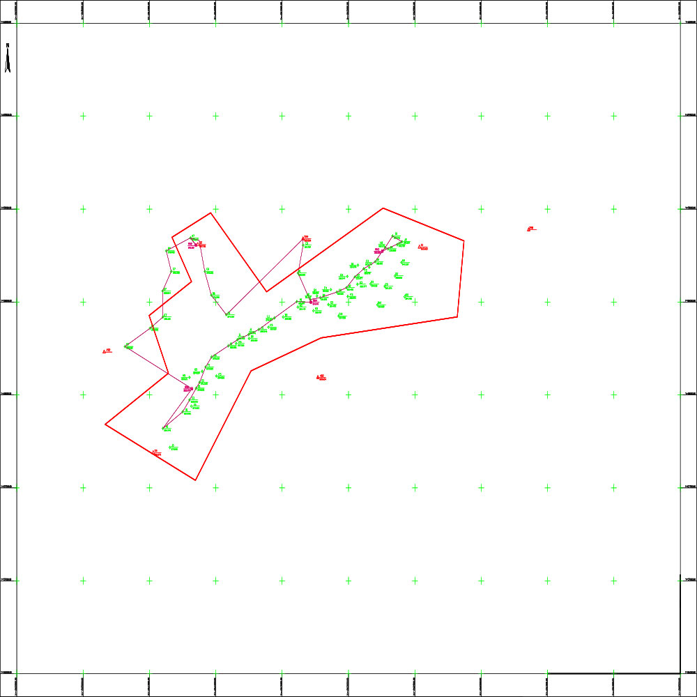
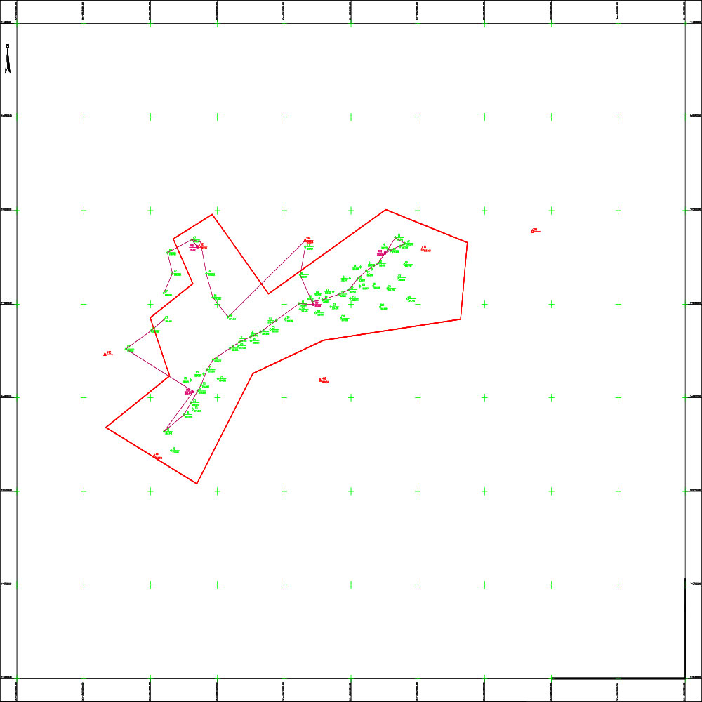
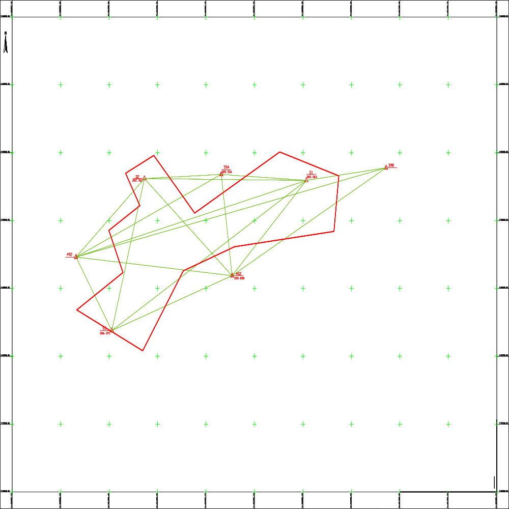
Project to create digital topographic maps for the following communities: (Barouha and Khirbet Jbab, Tanourin and Jwar al-Afs, Qanouta and Saoud, al-Mazraa, Batisa, al-Hashimiya, al-Tayba al-Gharbiya, al-Burhaniya, Fahl, Azir) in Homs Governorate

Project Description

Scope Of Services

The project targets a wide range of population centers and villages in Homs Governorate, including: (Barouha, Khirbet Jbab, Tanourin, Jwar al-Afs, Qanouta, Saoud, al-Mazraa, Batisa, al-Hashimiya, al-Tayba al-Gharbiya, al-Burhaniya, Fahl, and Azir).

Project Objective: The project aims to prepare and develop comprehensive digital topographic maps for these communities. Surveying and office work has been carried out to provide accurate spatial data that supports rural development plans, contributes to the preparation of urban plans, and facilitates the development of infrastructure networks and basic services in these areas.

Contract date and num

Number /9486/1/ for the year 2005 .' | ' .0001-01-01

Client

Ministry of Local Administration and Environment.

Project Files