
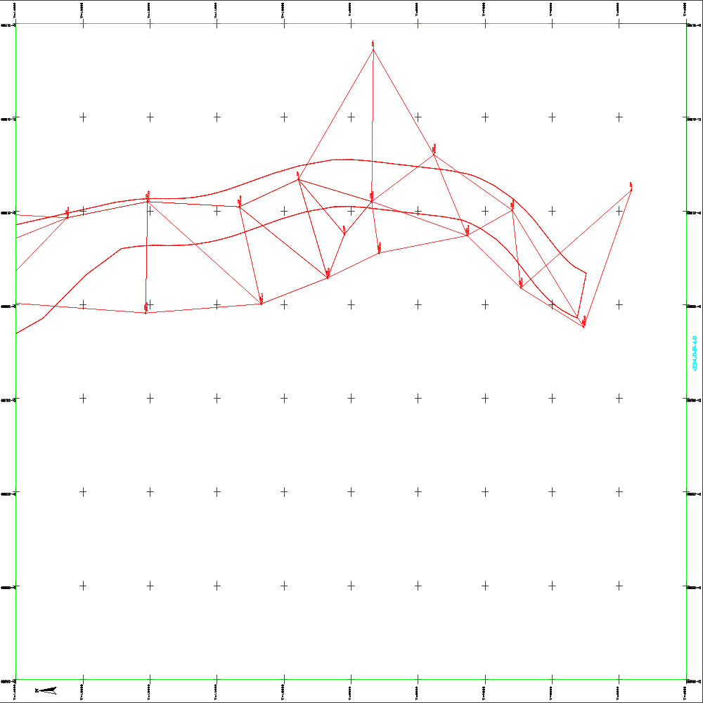
Triangles Grid 1
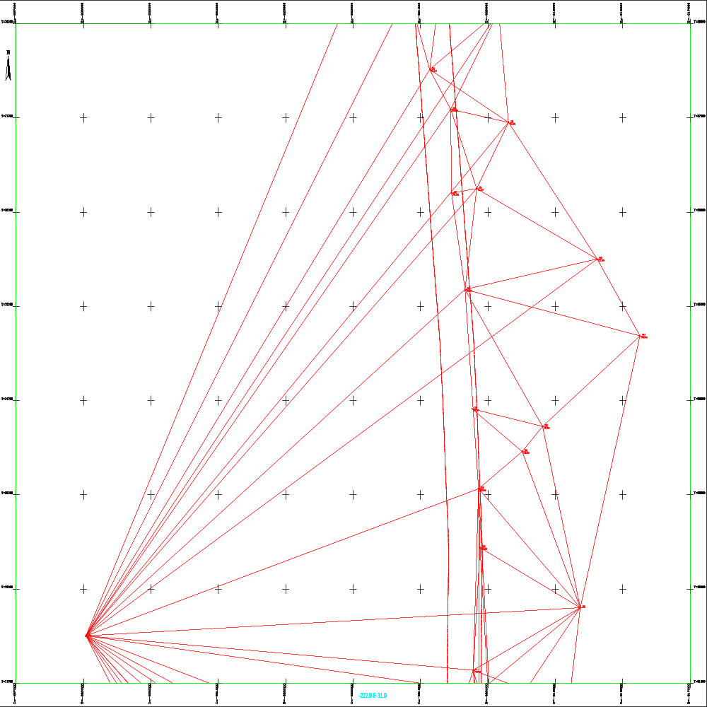
Triangles Grid 2
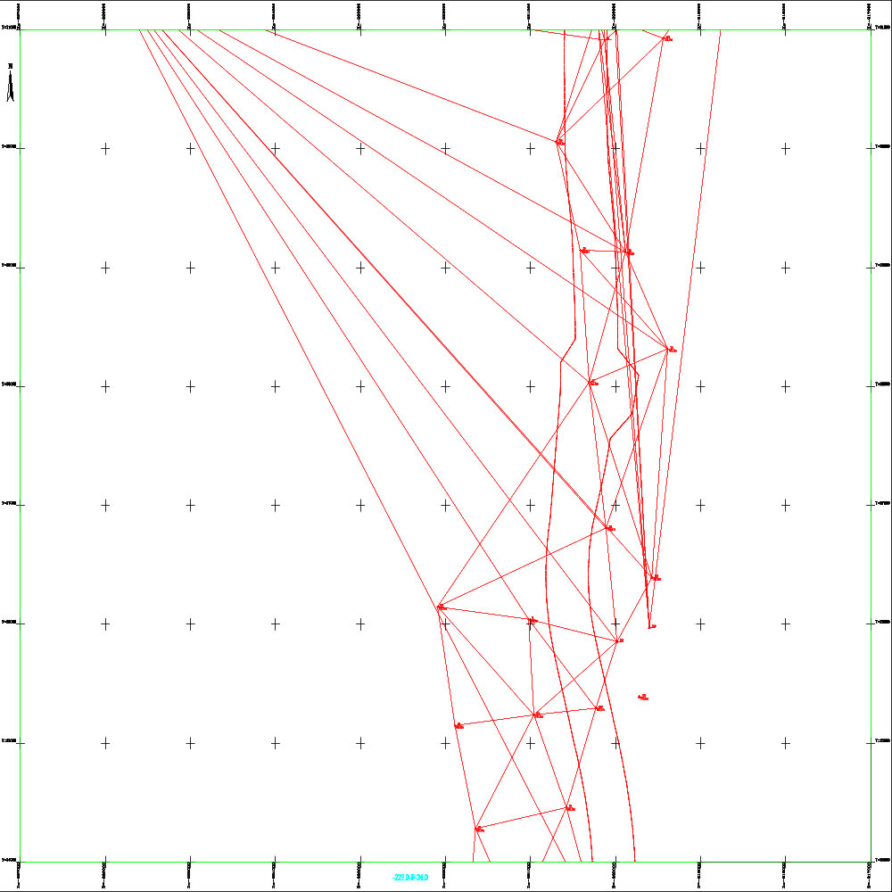
Triangles Grid 3
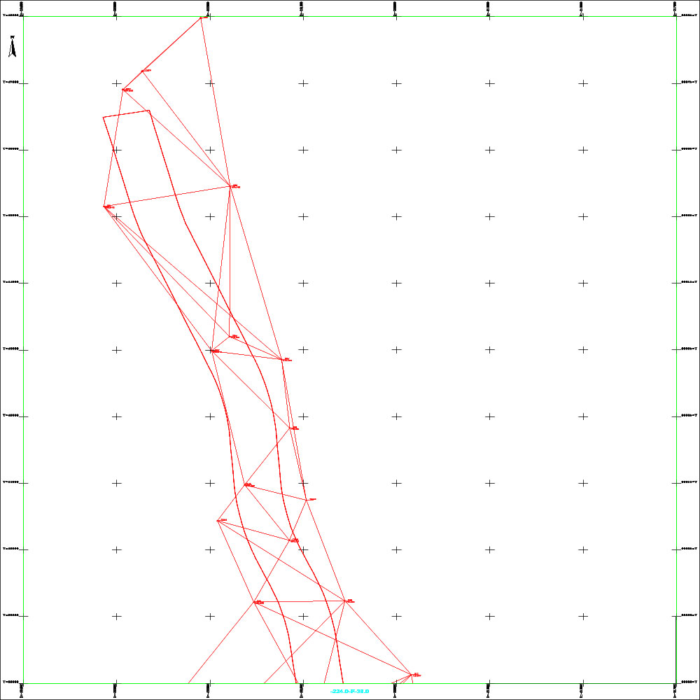
Triangles Grid 4
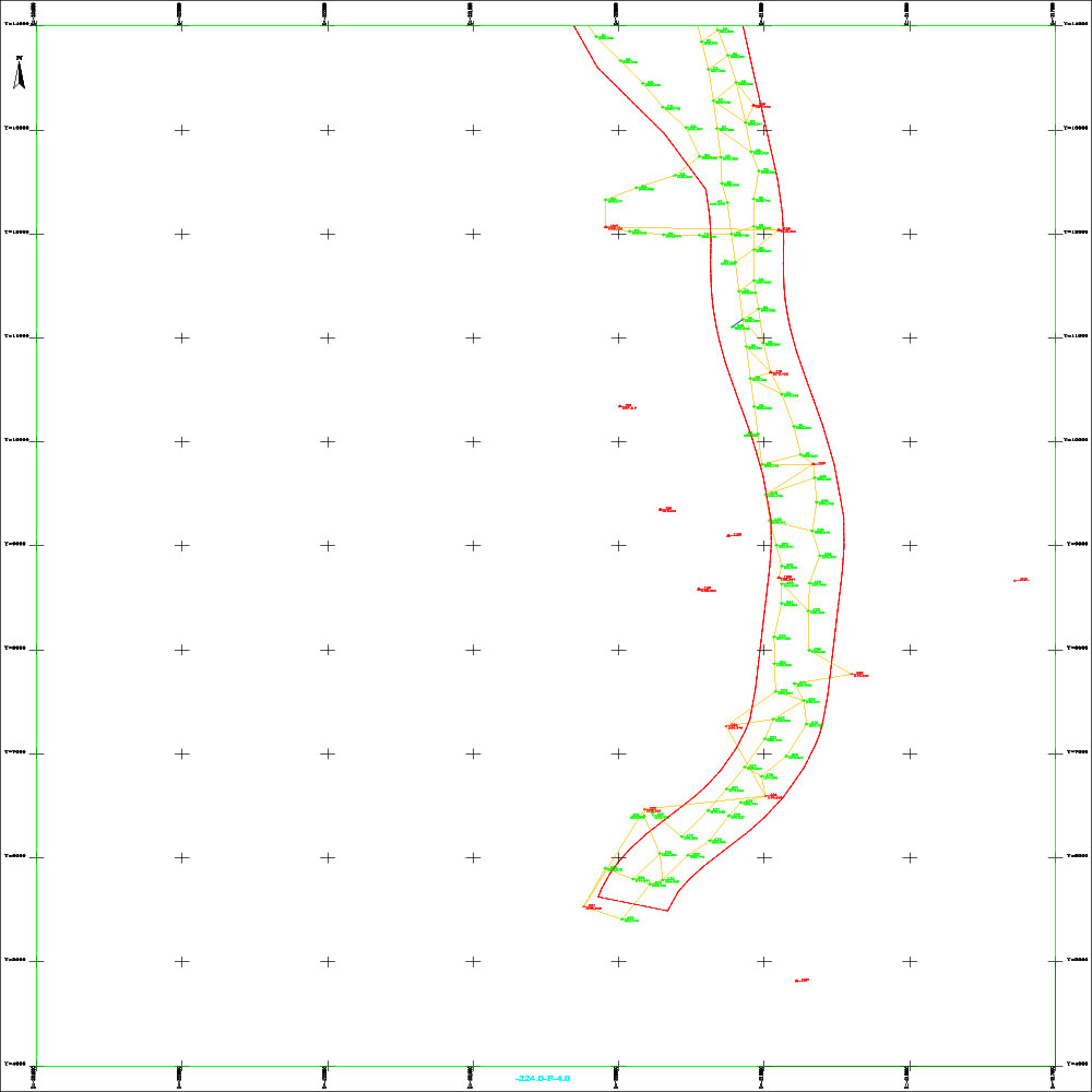
Grid-Polygons-1
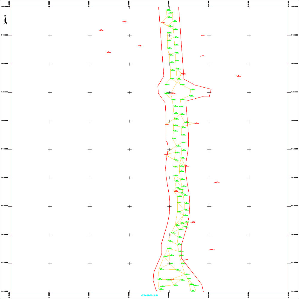
Grid-Polygons-2
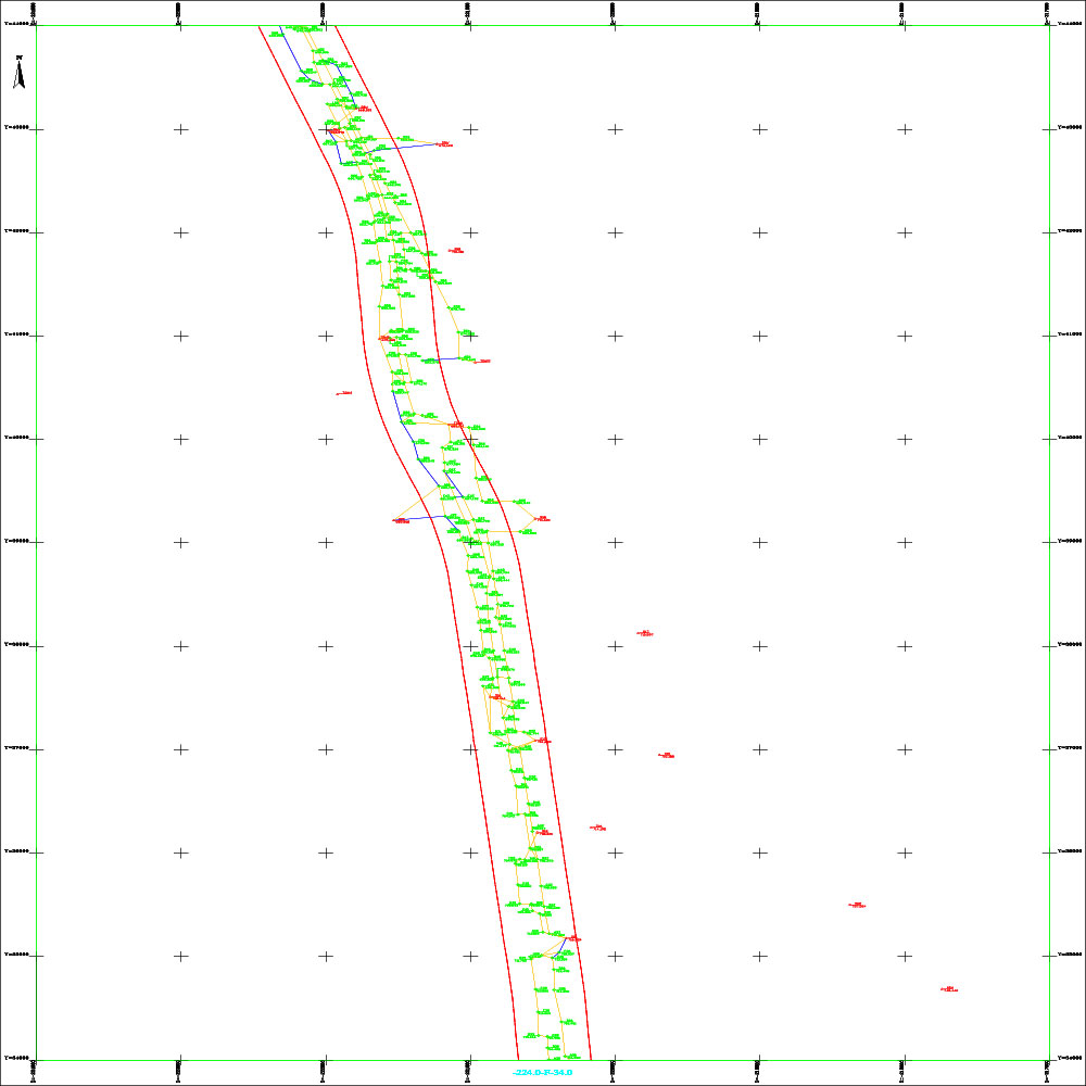
Grid-Polygons-3
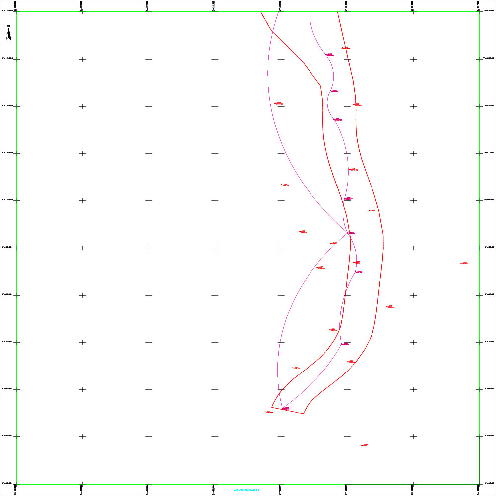
Settlement-References-Network-1
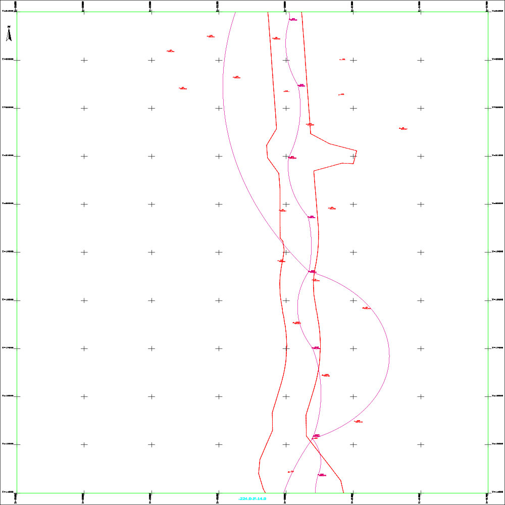
Settlement-References-Network-2
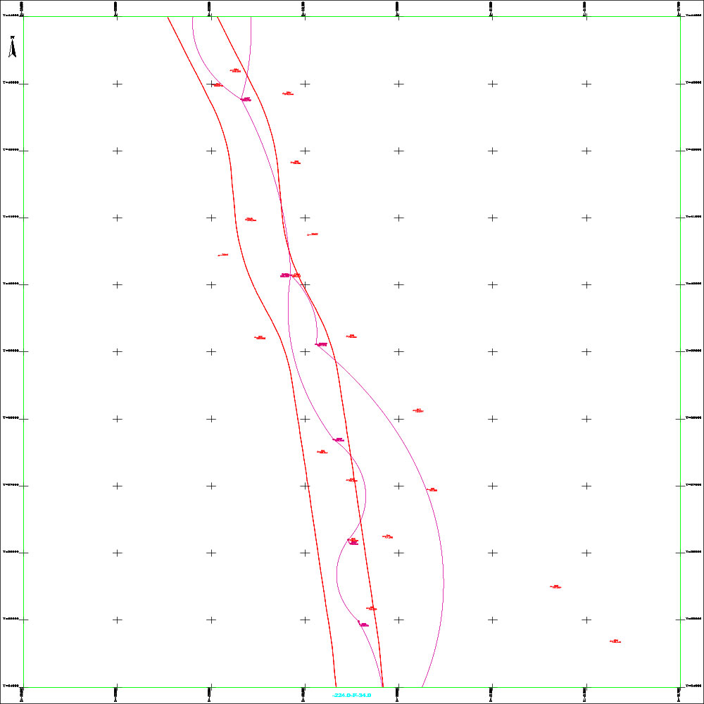
Settlement-References-Network-3
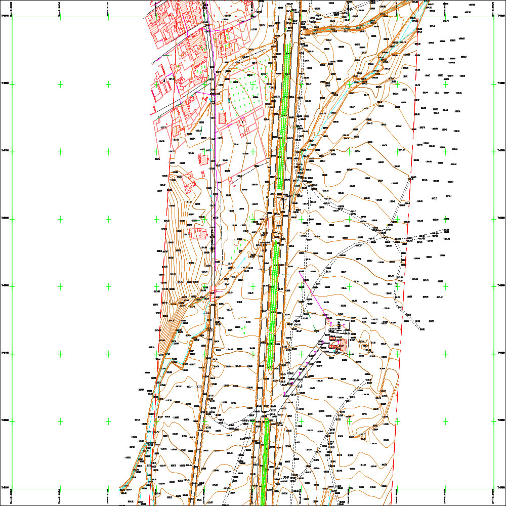
New Phase Two of the Al-Bureij Road Project - Al-Qasr Diversion 10
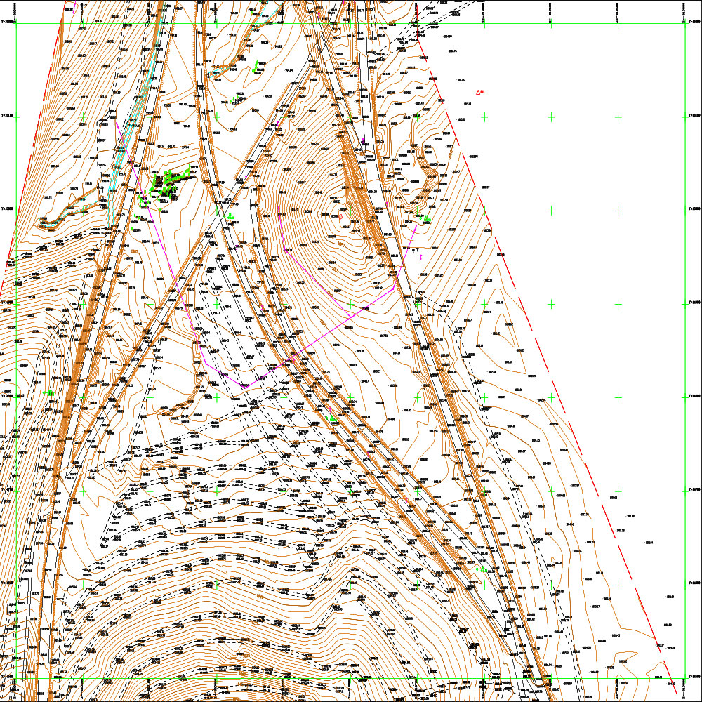
New Phase Two of the Al-Bureij Road Project - Al-Qasr Diversion 7
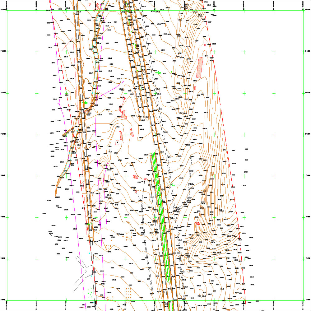
New Phase Two of the Al-Bureij Road Project - Al-Qasr Diversion 9
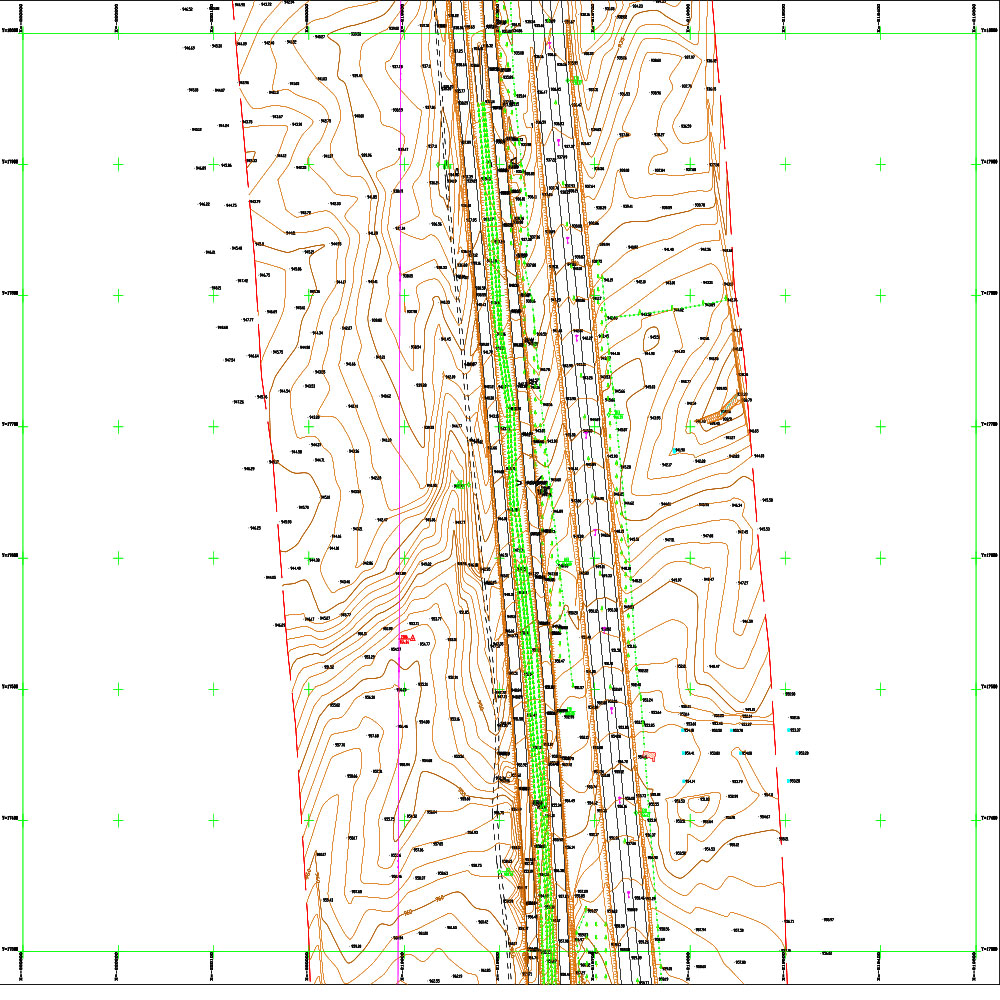
New Phase Two of the Al-Bureij Road Project - Al-Qasr Diversion 6
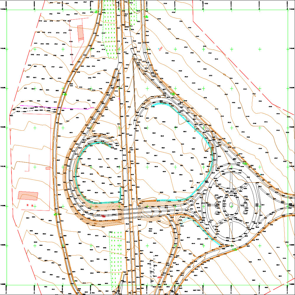
New Phase Two of the Al-Bureij Road Project - Al-Qasr Diversion 5
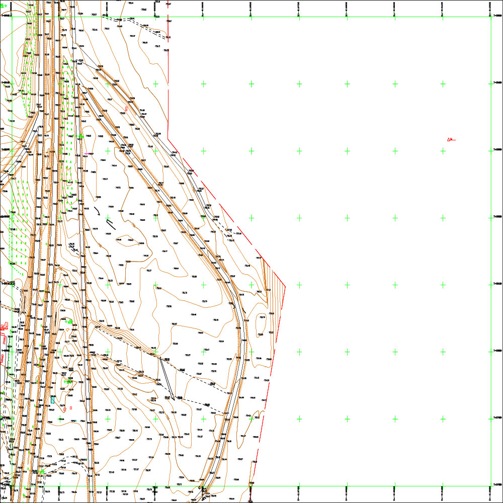
New Phase Two of the Al-Bureij Road Project - Al-Qasr Diversion 4
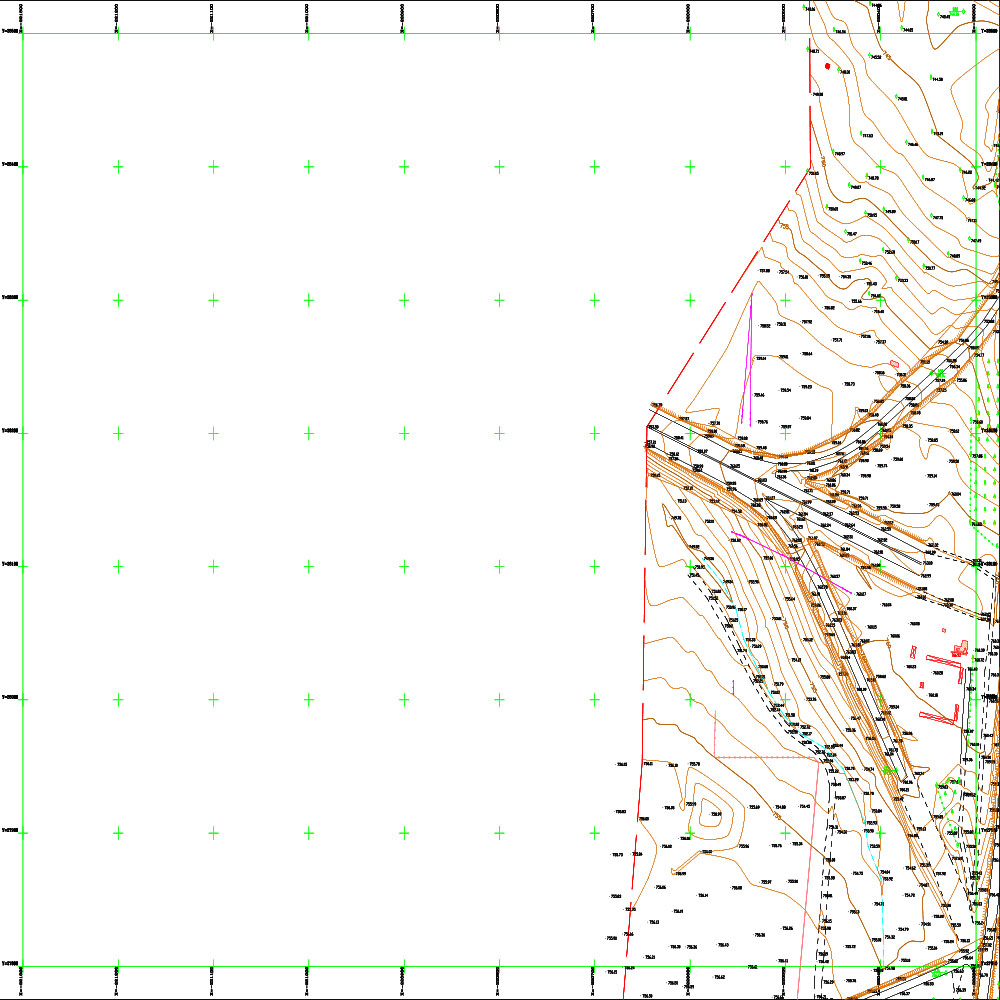
New Phase Two of the Al-Bureij Road Project - Al-Qasr Diversion 3
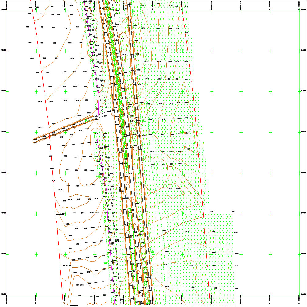
New Phase Two of the Al-Bureij Road Project - Al-Qasr Diversion 2
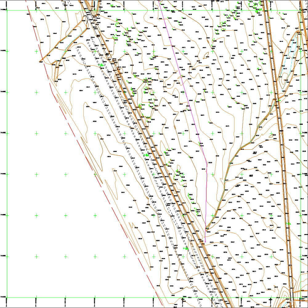
New Phase Two of the Al-Bureij Road Project - Al-Qasr Diversion 1
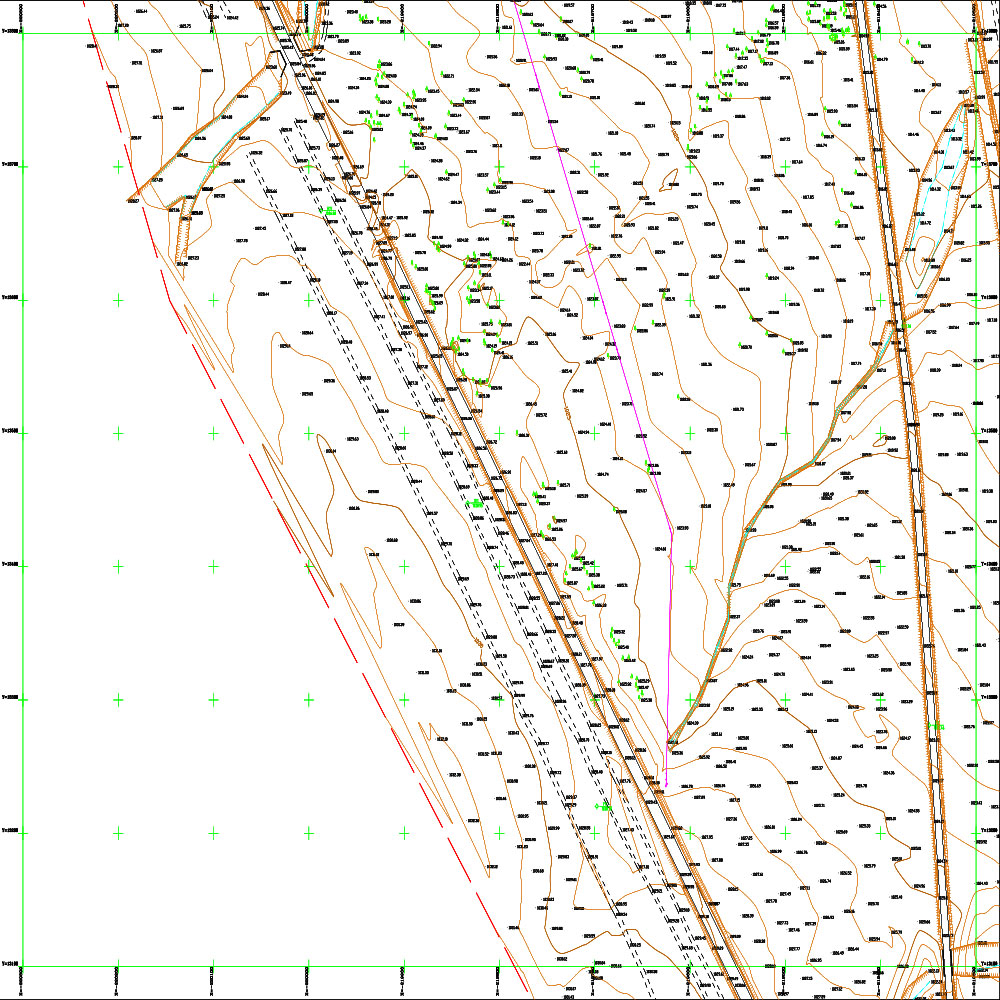
1 New - Phase Two - Al-Bureij Road Project - Al-Qasr Diversion (2)
Scope Of Services
Contract date and num
Contract No. /20/ of 2010 .' | ' .0001-01-01
Client