Project Description
Scope Of Services
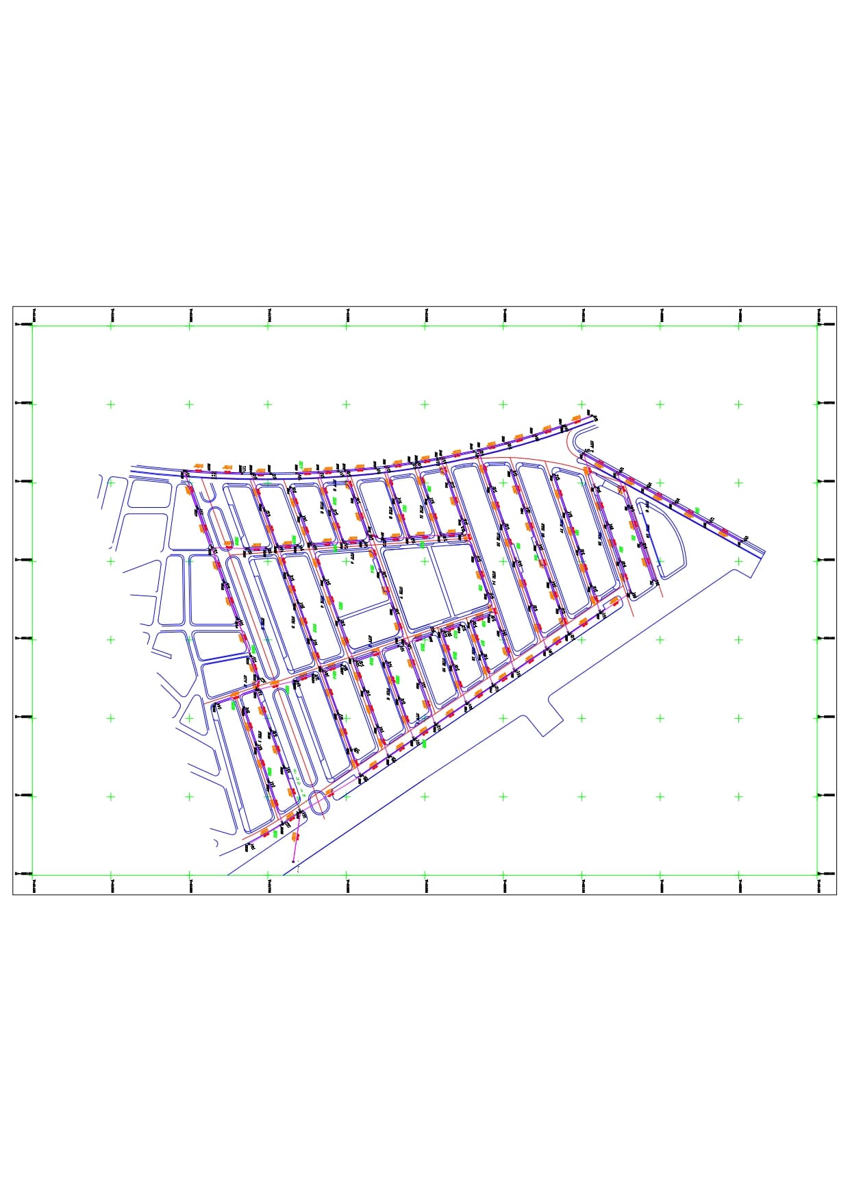
The project targets the city of Talkalakh in the Homs Governorate, covering a vast area of 2,075 hectares, which includes the city's master plan and its suburbs.
Project Objective: The project aims to produce comprehensive digital topographic maps of the city, implemented according to the latest technical standards adopted in the technical specifications document of the Ministry of Local Administration and Environment in the Syrian Arab Republic. These digital maps contribute to building an accurate geographic database that supports urban planning processes, updating master plans, and studying infrastructure and public utility projects for the city.
Contract date and num
.. .' | ' .0001-01-01
Client
Ministry of Local Administration and Environment.