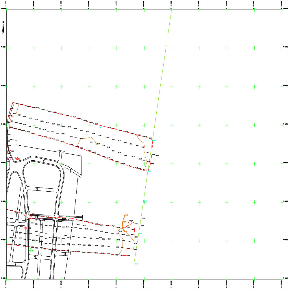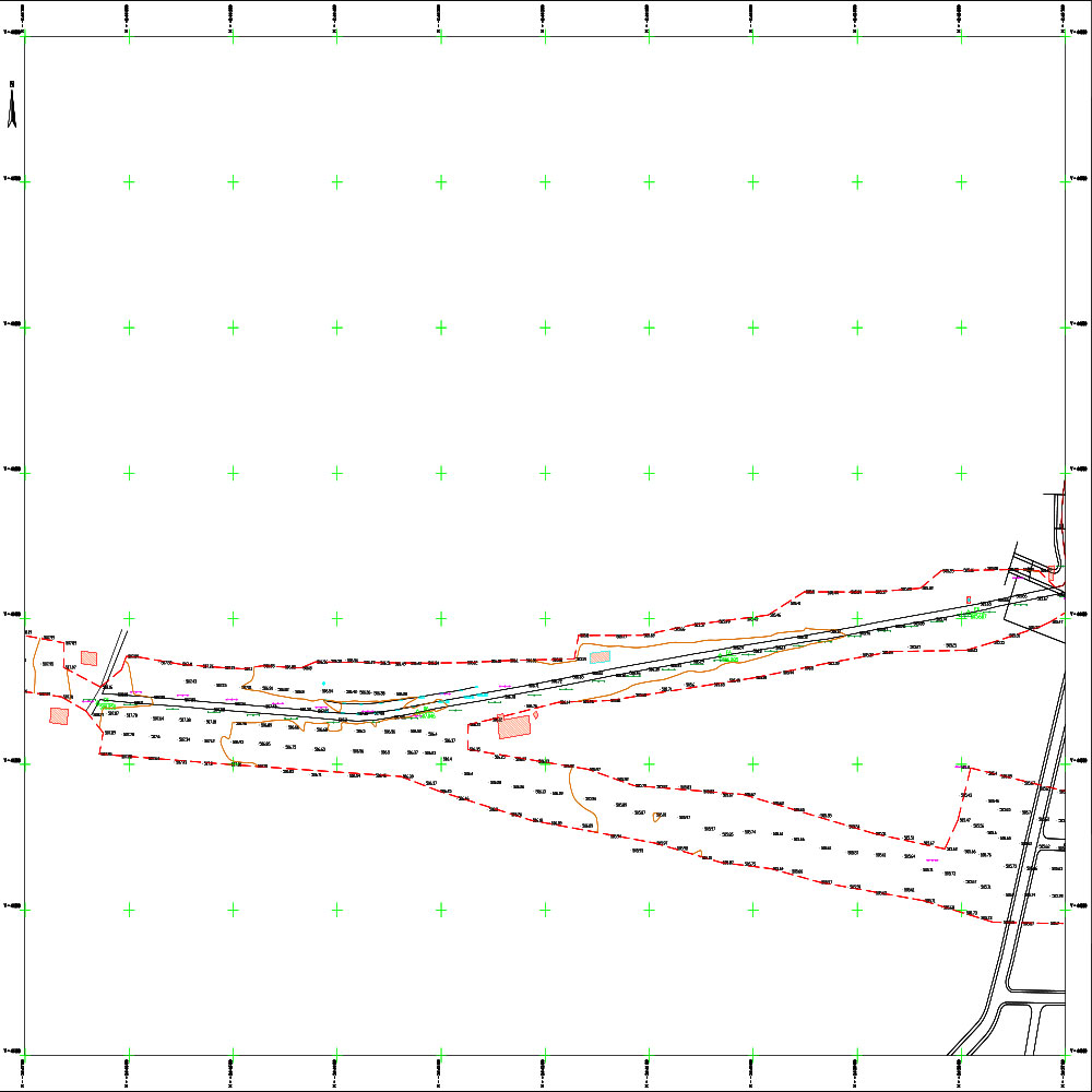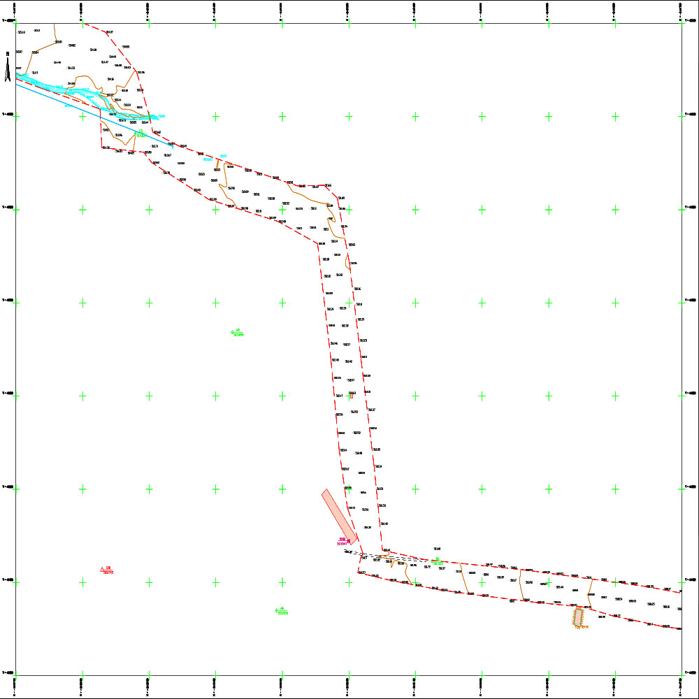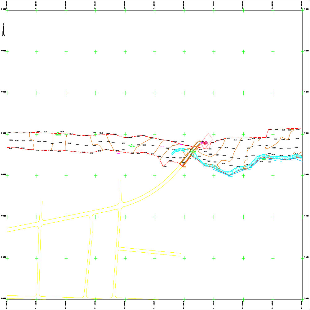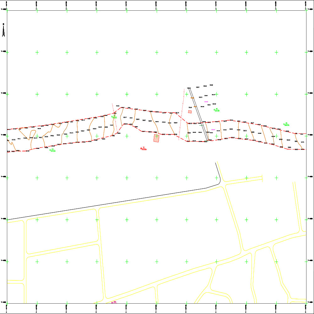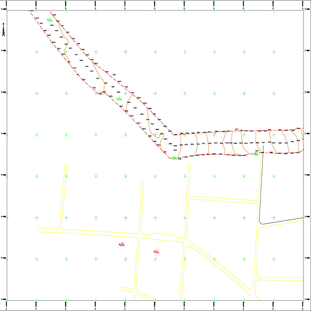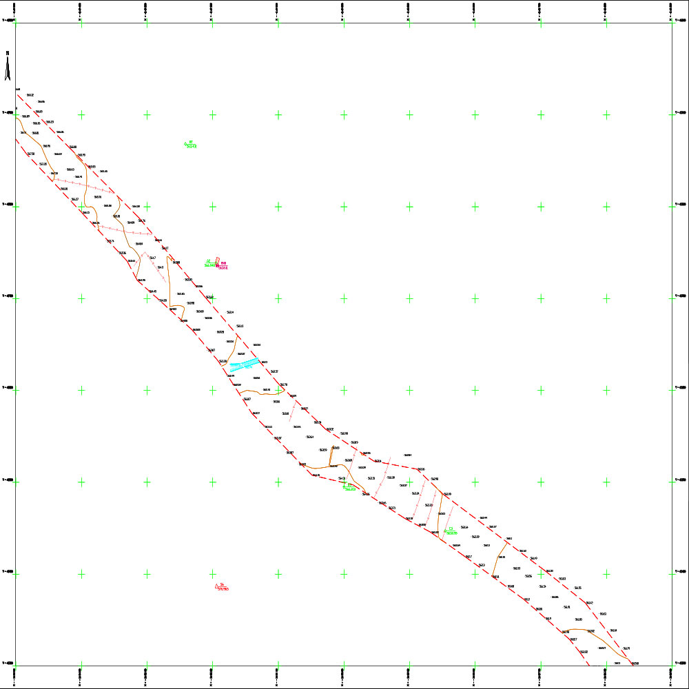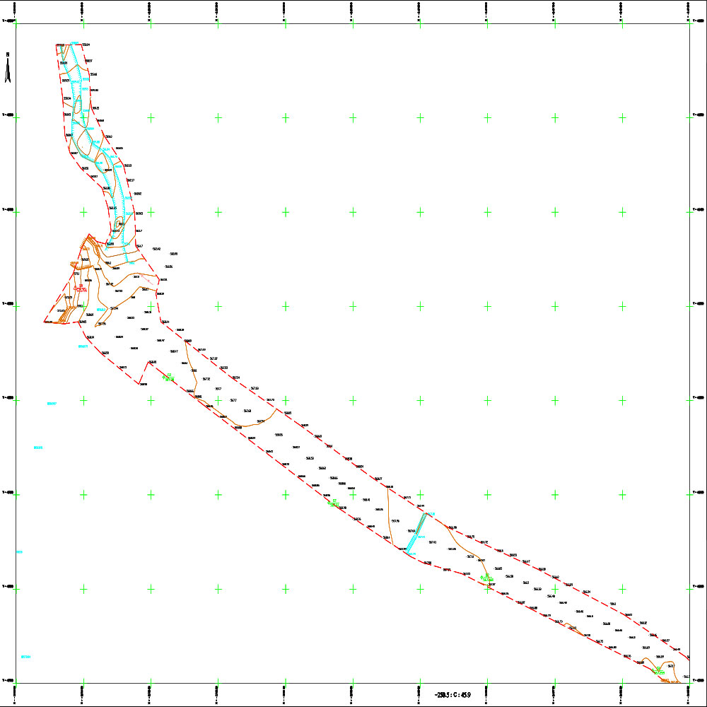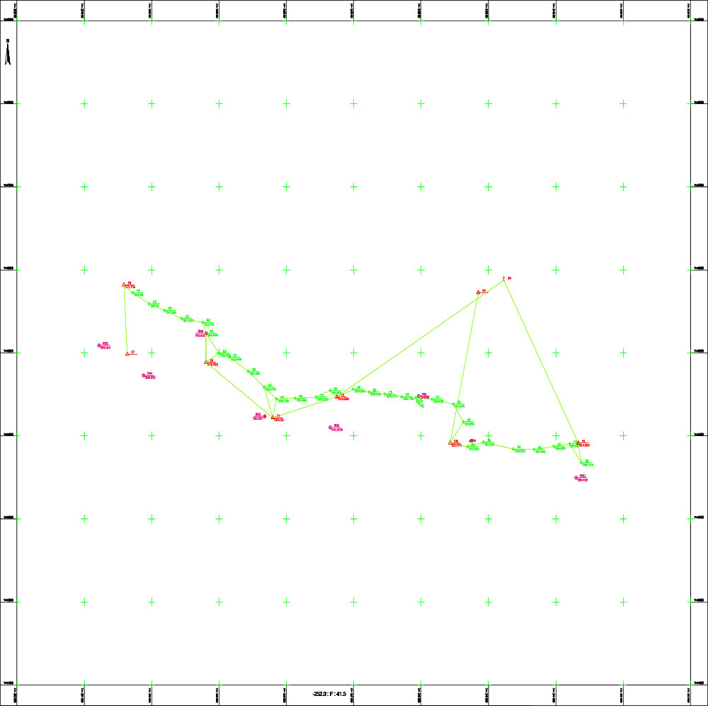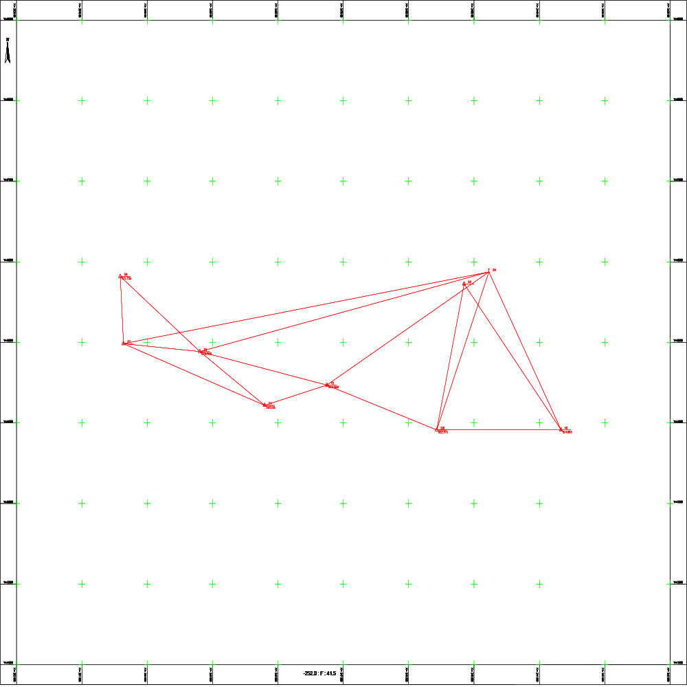
Topographic survey of the Hit estuary

Project Description

Scope Of Services

General Site and Project Data:

The project aims to prepare the necessary plans for the sewage outfall route (within the locations specified in the contract) to provide an accurate spatial database of the proposed routes.

Project Objective: The project aims to conduct topographic surveys to produce digital and paper topographic maps at a scale of 1:1000. These maps are the foundational and preliminary step necessary to begin the technical and engineering study of the sewage network, ensuring the accurate determination of the slopes and elevations necessary to guarantee the efficiency of the outfalls and their compatibility with the terrain.

Contract date and num

Number / / for the year 2011 .' | ' .0001-01-01

Client

Directorate of Technical Services, Homs Governorate

Project Files